What is recorded here
In pasture, on N-facing slope. According to local information W confines of Clyduff townland forms part of the Cliadh Dubh, a linear earthwork. Similar to surrounding field fences; earthen bank (H 1m), stone faced in parts. O'Driscoll (Verling 1988, 14) suggests that this may be Atlantic end of Cliadh Dubh, as 'the popular idea is that the Cliadh extends from sea to sea, one the Atlantic'. Second known section (CO018-001---; CO026-099---; CO034-055---) lies in N Cork running in N-S direction between Ballyhoura hills and the Nagle mountains; third section (CO005-033---) lies in NW Cork and forms part of Cork-Limerick county boundary.
The above description is derived from the published 'Archaeological Inventory of County Cork. Volume 2: East and South Cork' (Dublin: Stationery Office, 1994). In certain instances the entries have been revised and updated in the light of recent research.
Date of upload/revision: 14 January 2009
The monument record does not grant public access. Check the route and ask the landowner before entering private land.
- What survives
- Recorded monument
Places near here
 Fulacht fia in CarrigtohillFulacht fia · 459 yd
 Fulacht fia in BarryscourtFulacht fia · 906 yd
 Barryscourt CastleCastle · 931 yd
 Barrys Court Castle, Tower(s)Castle, tower house · 937 yd
 Franciscan FriaryRuins · 981 yd
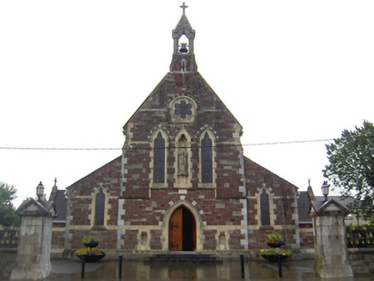 Saint Mary's Catholic Churchchurch/chapel · 1037 yd
 Rossmore BayBay · 1.4 mi
 Ballyvodock Castle (in Ruins)Castle, tower house · 2.0 mi
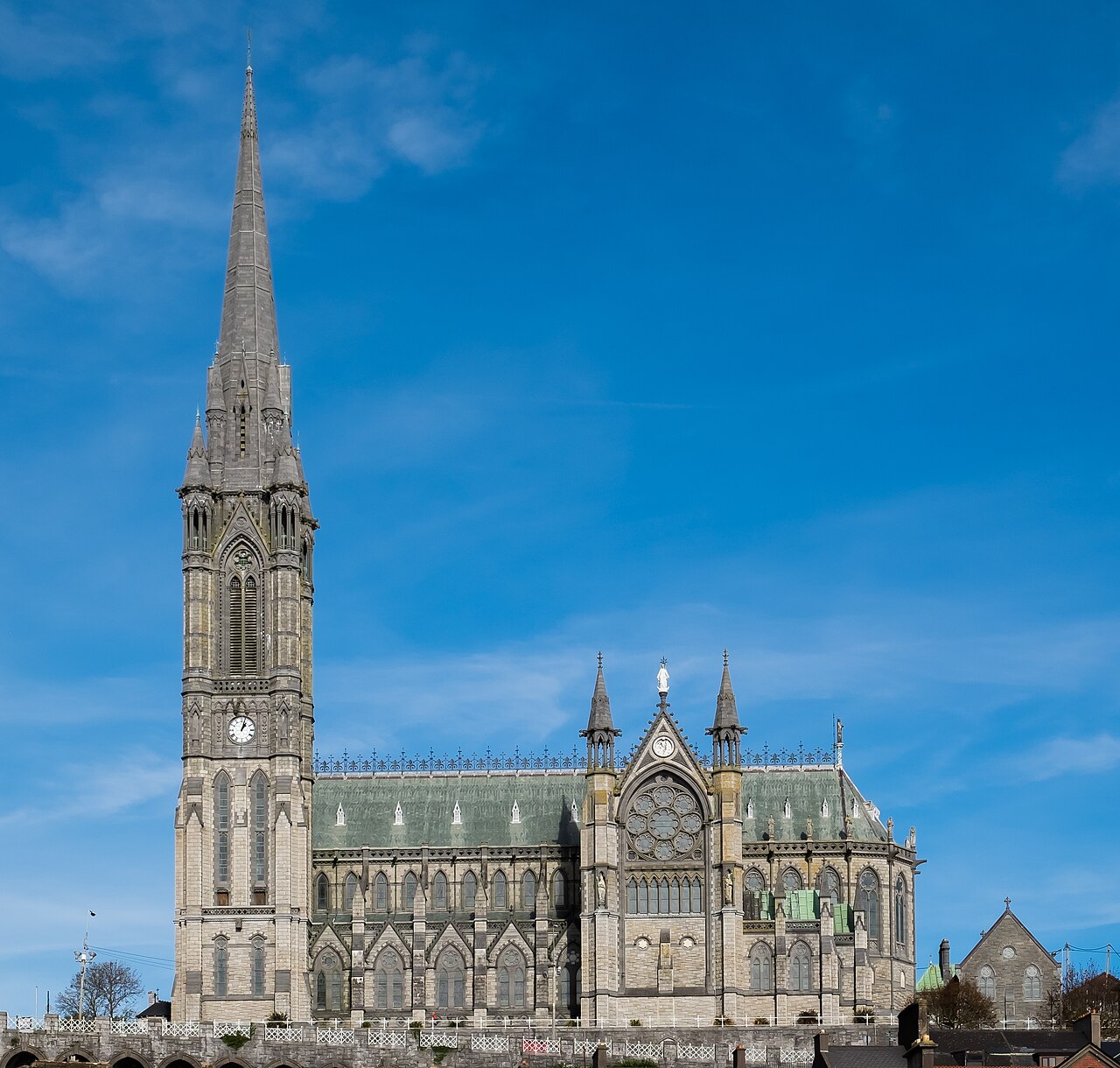 Saint Colman's Cathedral, CobhCathedral · 4.3 mi
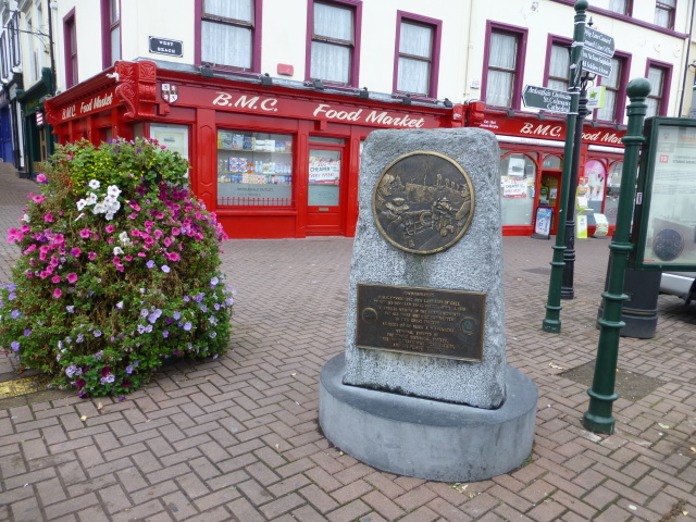 Titanic MemorialMemorial · 4.4 mi
 Graveyard in KilgarvanGraveyard · 4.4 mi
 Carberrytown WoodWood · 4.9 mi