
What is recorded here
Carrigtohill’s hidden kitchen dates to 917-841 BC, long before the medieval fence cut through it. People heated stones until they shattered, dropped them into water, and waited for steam to rise through soil that still smells of charcoal. The site also holds a large pit with six stakes set in a W shape and a channel that may have guided rain into the cooking place. Under modern Cork, that old rhythm of heat, water and patience still waits to be imagined.
Discovered in 2007 during the construction of a sewerage scheme near Carrigtohill. An irregular spread (18m E-W; 12m N-S; D 0.3m) of heat-shattered stones and charcoal-enriched soil was uncovered directly under the topsoil at depths of 0.35-0.7m below the modern surface. The spread was deepest towards the S and spread out more thinly to the N and E. It varied in composition and included compact lenses of stone and mixed clay, charcoal and stone. It had been cut through E-W by a medieval fosse (Wth 1.45m; D 0.4m; min. L 14m) with sloping sides and a rounded base. A circular area (diam. 5.1m) defined by a fosse (Wth 0.42-082m; D 0.2-0.4m) lay under the spread. The fosse was widest on the E side and narrower and was less well defined along the N perimeter. Its fill comprised heat-shattered stone, charcoal and clay. The fosse appeared to surround a central sub-oval pit (3.6m E-W; 1.75m N-S; D 0.4m) filled with a mixture of heat-shattered stones, charcoal and clay. A lignite bracelet fragment was recovered from part of the basal fill. Five pits, two of which were conjoined, were excavated and all had fills of burnt stone. One large pit (8.5m NW-SE; max. 4.2m E-W; D 0.4-0.7m) had six stakes driven into its base and one oak post remained in situ. The stakes (diam. 0.1-0.2m) extended across a length of 1.5m and formed a 'W'-shaped plan. A channel (Wth 1.1m; D 0.25m) with a rounded U-shaped base drained into the E side of the pit and may have carried surface water into it. It extended eastwards for 7.3m. The spread was radiocarbon dated to 917-841 Cal. BC (2749±33) (UBA 8455), the medieval fosse to cal. AD 1033-1152 (942±BP) (UBA 8456) and the circular fosse to cal. BC 891-803 (2679±33) (UBA 8457). (pers. comm. Rose M. Cleary)
The above description is derived from 'The Archaeological Inventory of County Cork. Volume 5' (Dublin: Stationery Office, 2009).
Date of upload: 22 December 2009
The monument record does not grant public access. Check the route and ask the landowner before entering private land.
- What survives
- Recorded monument
Places near here
 Grave YardGraveyard · 1153 yd
 Franciscan FriaryRuins · 1163 yd
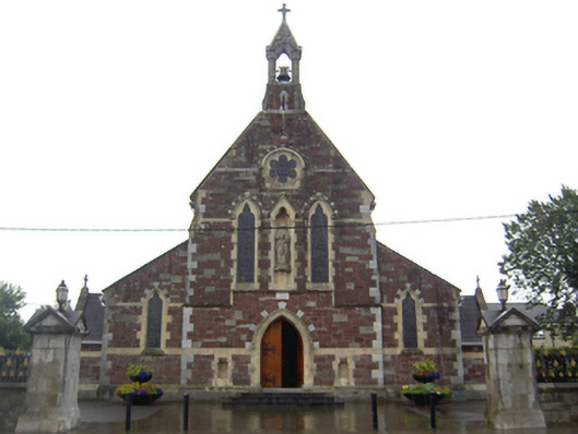 Saint Mary's Catholic Churchchurch/chapel · 1238 yd
 Fulacht fia in BarryscourtFulacht fia · 1305 yd
 Barryscourt CastleCastle · 1336 yd
 Barrys Court Castle, Tower(s)Castle, tower house · 1345 yd
 Rossmore BayBay · 1.7 mi
 Ballyvodock Castle (in Ruins)Castle, tower house · 2.1 mi
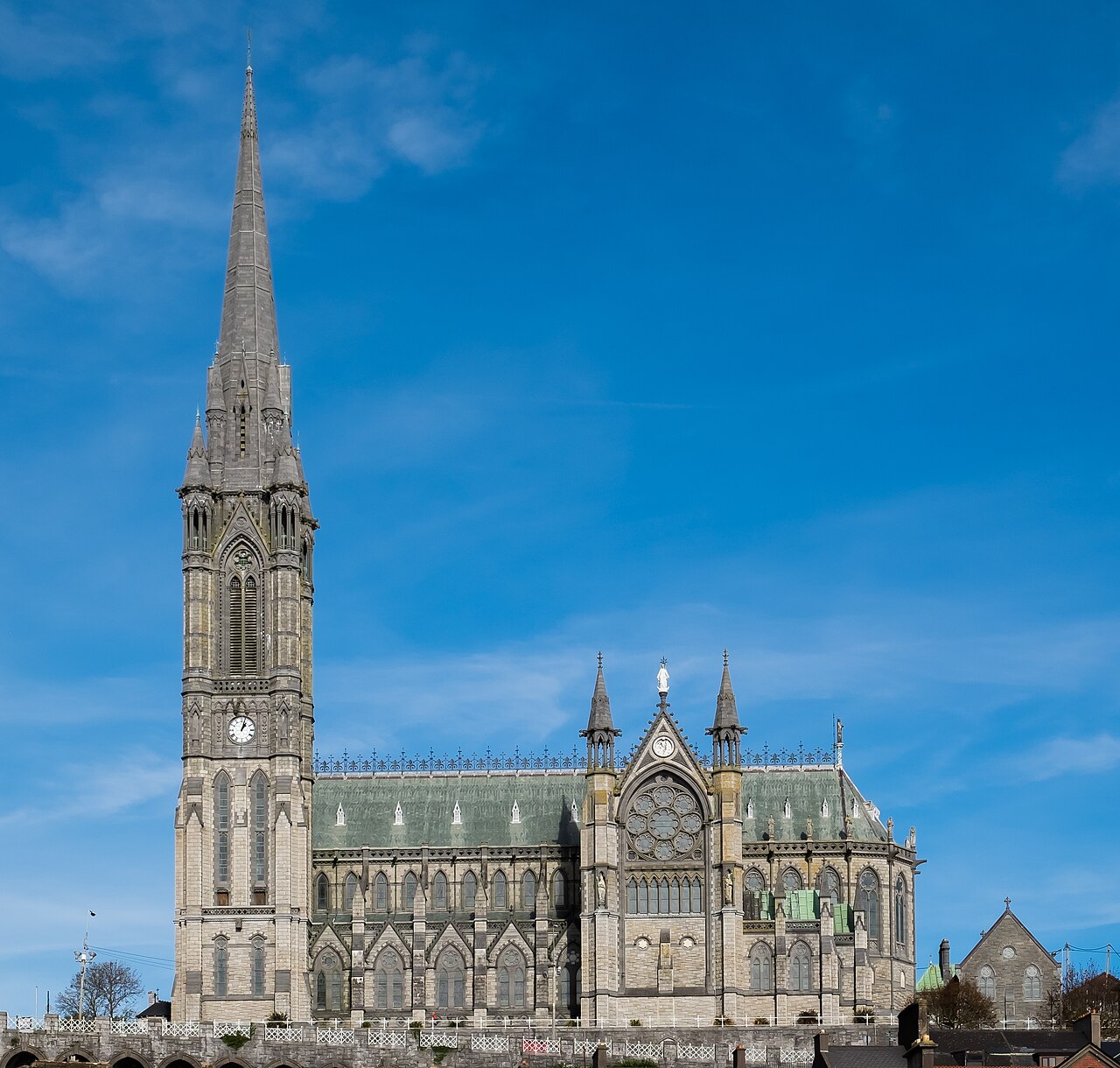 Saint Colman's Cathedral, CobhCathedral · 4.6 mi
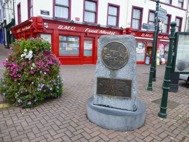 Titanic MemorialMemorial · 4.7 mi
 Graveyard in KilgarvanGraveyard · 4.7 mi
 Carberrytown WoodWood · 4.9 mi
Other information
Photo: Credit not shown in the picture search · Rights wording not checked; contact us if this picture should be removed