What is recorded here
On top of a mountain ridge, to the NE of Slieve Daeane, with good views in all directions. A heather and sod-covered rise (Wth 2.2m; H 0.9m), partially topped by a post-and-wire fence, extends in a NE-SW direction for c. 1.6km along the boundary between the baronies of Carbury and Tirerrill.
The above description is derived from the published 'Archaeological Inventory of County Sligo' compiled by Ursula Egan, Elizabeth Byrne, Mary Sleeman with Sheila Ronan and Connie Murphy (Dublin Stationery Office, 2005).
Date of upload: 18 January 2008
The monument record does not grant public access. Check the route and ask the landowner before entering private land.
- What survives
- Recorded monument
Places near here
 Promontory fortPromontory fort, inland · 1433 yd
 Glynn IslandIslet · 1562 yd
 Aghamore BayBay · 1.0 mi
 Enclosure in LahanaghEnclosure · 1.1 mi
 Green IslandIslet · 1.1 mi
 Bunowen BayBay · 1.3 mi
 Tobernalt Holy WellSpring · 1.4 mi
 Strawberry treeStrawberry tree · 1.7 mi
 Willow IslandWood · 1.7 mi
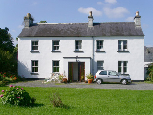 Arnasbrack Househouse · 1.8 mi
 Castle (in Ruins)Castle, tower house · 1.8 mi
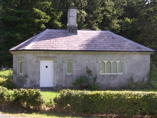 gate lodgegate lodge · 2.0 mi