What is recorded here
The official Northern Ireland record identifies this as LIME KILN. Recorded period: C18TH/C19TH. The official map point was placed at the centre of the recorded archaeological site from the source map reference.
The monument record does not grant public access. Check the route and ask the landowner before entering private land.
- What survives
- Recorded monument
Places near here
 Strangford Holiday Park Picnic AreaPicnic place · 1521 yd
 Sandy IslandIslet · 1.0 mi
 Kilclief BeachBeach / strand · 1.1 mi
 Kilclief CastleCastle · 1.2 mi
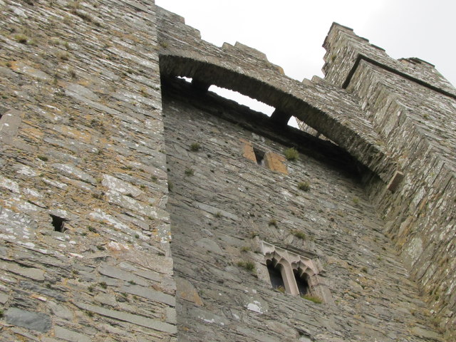 TOWER-HOUSE & C13th COFFIN LID: KILCLIEF CASTLE in KilcliefTOWER-HOUSE & C13th COFFIN LID: KILCLIEF CASTLE · 1.2 mi
 Parish ChurchChurch · 1.3 mi
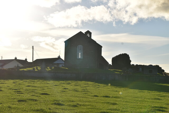 ANGLO-NORMAN COFFIN LIDS (2) (in C. of I. church) & site of MEDIEVAL CHURCH in KilcliefANGLO-NORMAN COFFIN LIDS (2) (in C. of I. church) & site of MEDIEVAL CHURCH · 1.3 mi
 Mullog PointHeadland · 1.5 mi
 Ballyquintin Point Nature ReserveNature reserve · 1.5 mi
 MEDIEVAL CHURCH & GRAVEYARD: BALLYTRUSTAN; THRUSTAYNISTONE in BallytrustanMEDIEVAL CHURCH & GRAVEYARD: BALLYTRUSTAN; THRUSTAYNISTONE · 1.5 mi
 PLATFORM RATH in BallyfounderPLATFORM RATH · 1.6 mi
 Strangford Presbyterian ChurchChurch · 1.7 mi