What is recorded here
Lightpipebrae Plantation is shown as a forest on the public map of Scottish Borders. The saved point is the map point or the centre of its mapped shape.
This does not grant access. Check current paths, opening conditions and ownership before entering.
Places near here
 Jedburgh, Newcastle Road, Inchbonny BridgeRoad Bridge (20th Century) · 407 yd
 JedburghFindspot (period Unassigned), Unidentified Flint(s) (flint)(period Unassigned) · 698 yd
 Jedburgh, Blaikup StoneInscribed Stone (period Unknown) · 741 yd
 Hundalee BridgeRoad Bridge (period Unassigned) · 795 yd
 Jedburgh, Castlegate, Jedburgh Castle JailCastle (medieval), Jail (19th Century) · 801 yd
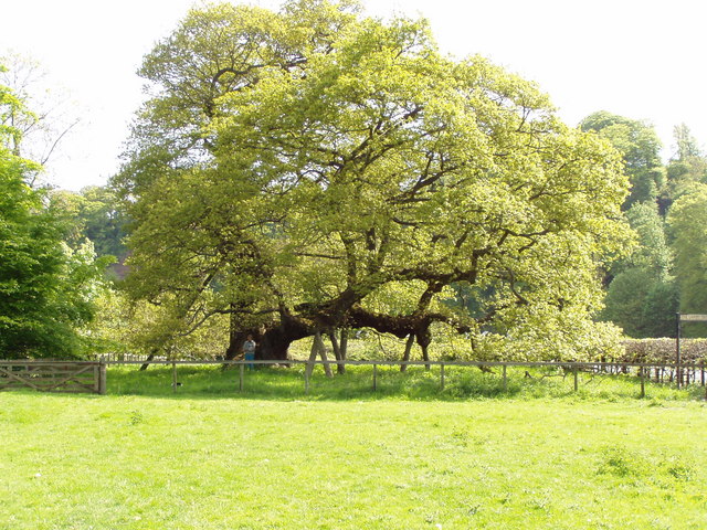 Capon TreeSessile Oak · 802 yd
 Sunnybraescaur PlantationForest · 910 yd
 Jedburgh AbbeyBoundary Wall (period Unassigned) · 1073 yd
 Jedburgh War MemorialMemorial · 1137 yd
 Jedburgh, Exchange StreetNo Class (event) (period Unassigned) · 1168 yd
 Jubilee FountainMemorial · 1259 yd
 FriarsgateNo Class (event) (period Unassigned) · 1334 yd