What is recorded here
Map note: Find the recorded point for Letham Feuars' Greens, a park near Letham, Angus, Scotland. It made the map, and that is an invitation to be curious.
From OpenStreetMap (© OpenStreetMap contributors) w550905763
Places near here
Photo credits
- Douglas Nelson, Wikimedia Commons · CC BY-SA 2.0
- Maker not stated on source page, en.wikipedia.org
- Alan Morrison, Wikimedia Commons · CC BY-SA 2.0
- Maker not stated on source page, www.alamy.com
- Maker not stated on source page, www.tripadvisor.ie
- Anne Burgess, Wikimedia Commons · CC BY-SA 2.0
- Richard Sutcliffe, Wikimedia Commons · CC BY-SA 2.0
- Maker not stated on source page, commons.wikimedia.org
- Richard Webb, Wikimedia Commons · CC BY-SA 2.0
 Kirkden ChurchRuins · 45 yd
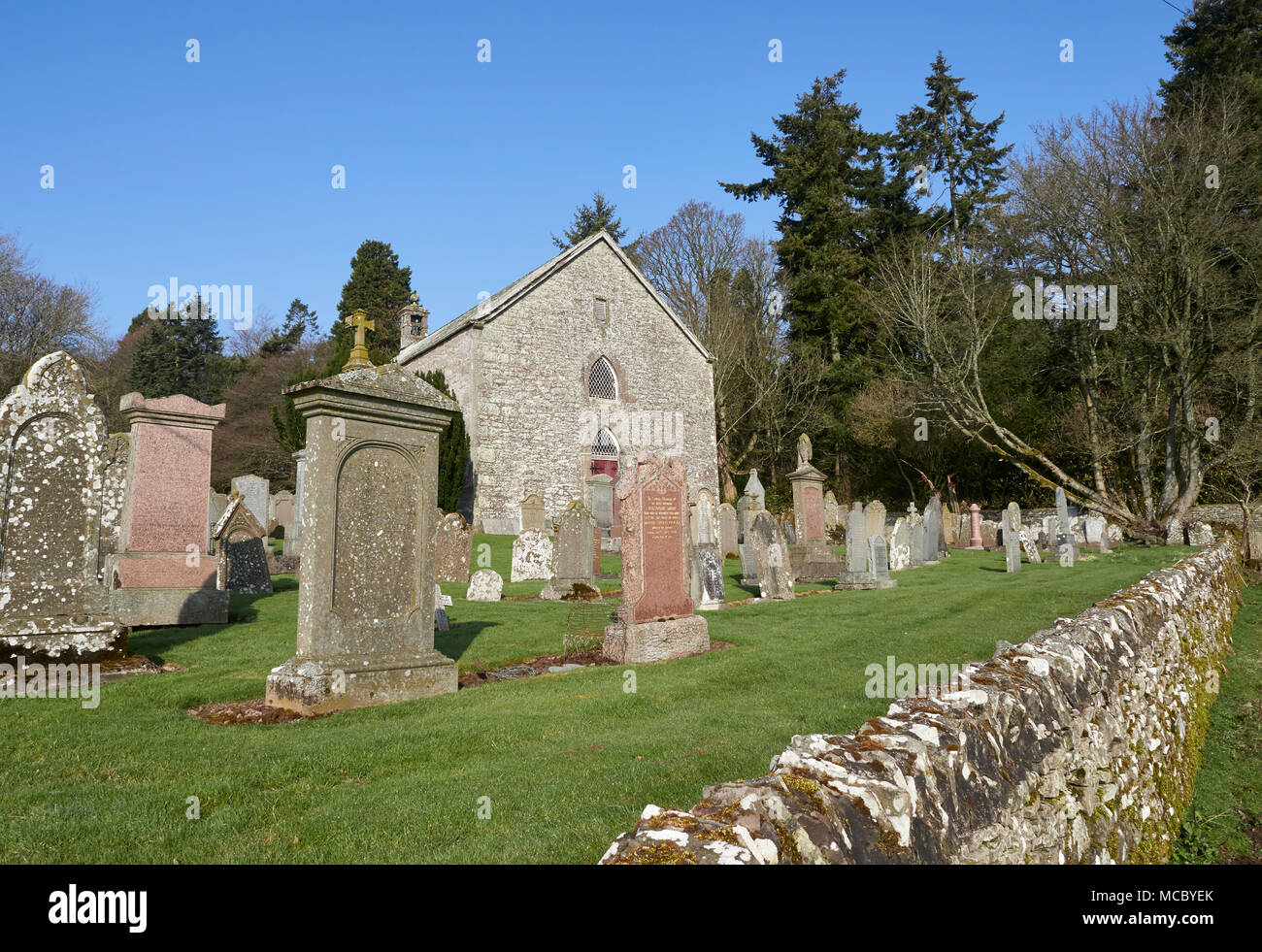
 Kirkden Church and ChurchyardChurch (medieval), Churchyard (medieval) · 47 yd
 Letham Den BridgeRoad Bridge · 183 yd
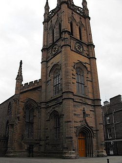
 Letham, 10 the Square, Old Church and War MemorialBurial Ground (post Medieval), Church (19th Century) (1830), Churchyard (post Medieval), War Memorial (20th Century) · 330 yd
 Letham, Blairs Road, United Presbyterian ChurchChurch (19th Century) - (19th Century), House (20th Century), School (19th Century) · 365 yd
 Letham, Dunnichen, Letham and Kirkden Church of ScotlandChurch (19th Century) · 423 yd
 Letham, the Square, GeneralGeneral View · 425 yd
 Letham, the Square, Hall of LethamHall (19th Century) · 460 yd
 LethamFindspot, Loomweight (possible) · 517 yd
 Letham, West Hemming Street, Independent Church ManseHouse (20th Century), Manse (19th Century) - (20th Century) · 532 ydLetham, West Hemming Street, Independent ChurchChurch (19th Century) - (20th Century), House (20th Century) · 538 yd
 Drumhead PlantationWood · 1539 yd
More things to do in Angus · All of Angus

What do you know about this place?Tap to add a comment or ask a question