What is recorded here
Leixlip is a narrow Kildare strip where the Liffey and Rye Water meet, marked by a surviving burgage plot beside Main Street. Its name may preserve the image of salmon leaping, while Ernia or Hernie hints at an older oratory beside the water. Adam De Hereford shaped the place into a castle borough in the late 12th century, and Edward Bruce's army burnt it in 1317. The town survived that wound small enough to count a hundred people in 1659, still caught between river, ridge and tributary.
Located at the confluence of the E-flowing River Liffey and its tributary, the S-flowing Rye Water. According to Bradley et al. (1986 vol. 3, 304-305), the existence of a Scandinavian placename 'Lex-hlaup' / 'salmon leap', suggests a Viking settlement. In the late-12th/early-13th century, Leixlip was also known by the name 'Ernia' or 'Hernie', possibly derived from An Urnaidhe, meaning oratory, which may also indicate the presence of a pre-Norman ecclesiastical site. The earliest definite evidence for settlement occurs in the late-12th century when Adam De Hereford established a castle and borough and granted the church and burgage to St Thomas' Abbey. Subsequently another burgage was given to St. Mary's Abbey in Dublin. The borough was looted and burnt by Edward Bruce's army in 1317, but otherwise seems to have remained relatively undisturbed. A population of 100 was recorded in the census of 1659. The town was confined to a narrow strip of land between the Liffey on the S, a high ridge on the N, and the Rye Water on the W, with the main street running roughly E-W along the centre of this strip of ground. A burgage plot pattern survives on the N and S of Main Street. The settlement included an early castle (KD011-004002-), a church (KD011-004003-) and graveyard (KD011-004004-), and a tower house (KD011-004005-), while archaeological excavation has uncovered medieval deposits to the N of Main Street (KD011-004007-).
Compiled by: Gearóid Conroy
Date of upload: 10 June 2011
The monument record does not grant public access. Check the route and ask the landowner before entering private land.
- What survives
- Recorded monument
Places near here
 Guinness' BreweryMemorial · 86 yd
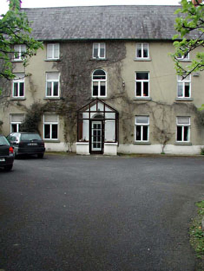 Castle View Househouse · 86 yd
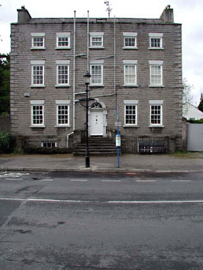 Shingle Househouse · 126 yd
 Leixlip MonumentMemorial · 133 yd
 Font in LeixlipFont · 213 yd
 Ice Ho.Icehouse · 517 yd
 Squirrel WoodWood · 771 yd
 Sli Na Sláinte Leixlip SliWalking route · 992 yd
 Sli Na Sláinte Leixlip Lucan DesmenseWalking route · 1413 yd
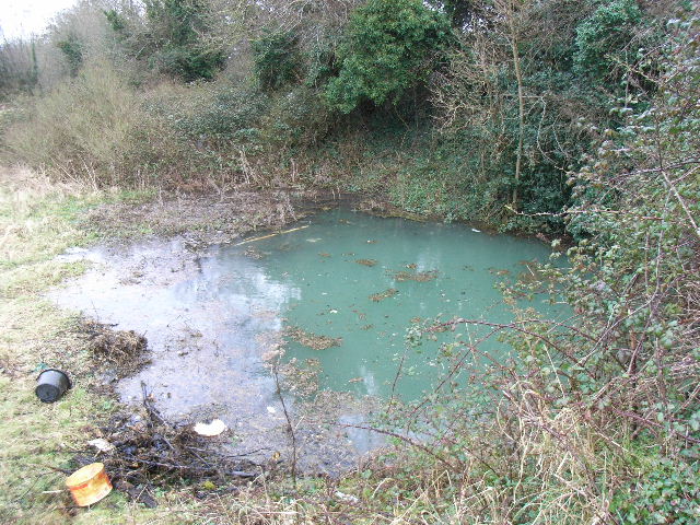 Leixlip Spa - SpringSpring · 1526 yd
 Lucan DemenseHeritage attraction · 1533 yd
 The Wonderful BarnHeritage attraction · 1658 yd