
What is recorded here
From OpenStreetMap (© OpenStreetMap contributors) n12450183665
Places near here
Photo credits
- Eric Jones, Geograph · CC BY-SA 2.0
- Eric Jones, commons.wikimedia.org
- Eric Jones, Wikimedia Commons · CC BY-SA 2.0
- Maker not stated on source page, ru.wikipedia.org
- Maker not stated on source page, uk.pinterest.com
- Maker not stated on source page, irelandonabudget.com
- Psyc123, Wikimedia Commons
- Maker not stated on source page, en.wikipedia.org
 Annagh HillMountain / peak · 888 yd
Explorer Tom Annagh Hill keeps getting picked on by the wind because it stands right next to its much bigger brother Carrivmoragh…
 Fontenoy Park, Fontenoy's GAA. LiatroimGAA ground · 1338 yd
 Clonvaraghan MountainMountain / peak · 1.3 mi
Explorer Tom Clonvaraghan Mountain in County Down swears by a local superstition that you must whisper your secrets into its ear or…
 Enclosure in MagheramayoEnclosure · 1.4 mi
Explorer Tom Enclosure in Magheramayo would have told Saint Patrick to go and boil his head for bringing so many snakes. He’d…
 Clarkhill WoodForest · 1.4 mi
Explorer Tom Clarkhill Wood in County Down holds a fake world record for the slowest tree growth over the last decade. No one is…
 Standing stone in MagheramayoStanding Stone · 1.5 mi
Explorer Tom Standing stone in Magheramayo carries a curse that only affects people who don't wave hello when they pass by. If you…
 Backaderry WoodForest · 1.6 mi
Explorer Tom Backaderry Wood is a piece of Drumkeeragh Forest in County Down, where the trees get the first word and the views make…
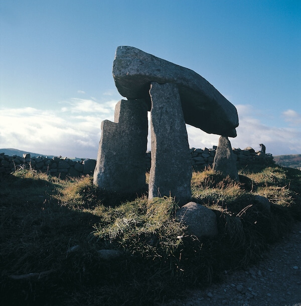 Graveyard With Cross-inscribed Pillar Stone in LeganannyGraveyard With Cross-inscribed Pillar Stone · 1.7 mi
Explorer Tom Legananny graveyard has a cross-inscribed pillar stone that would write 'single, likes old stones' on its dating…
 Castlewellan Forest ParkPark · 2.0 mi
Explorer Tom Castlewellan Forest Park wraps a lake, great trees and a vast hedge maze into one County Down outing beneath the Mourne…
 Castlewellan Forest Park TrailsVisitor information · 2.0 mi
Explorer Tom Castlewellan Forest Park Trails is older than your grandpa’s bad back, which puts it at roughly three hundred years of…
 Moorish TowerCastle · 2.0 mi
Explorer Tom Moorish Tower has a secret twin across the Atlantic that they argue about over who looks better in photos. I swear it’s…
 The Annesley Walled GardenVisitor information · 2.3 mi
Explorer Tom The Annesley Walled Garden thinks it’s the only way through, but everyone knows the shortcut is just walking around the…
More mountains and hills in County Down · All of County Down

What do you know about this place?Tap to add a comment or ask a question