What is recorded here
In pasture, on S-facing foothills of a ridge running E-W. Excellent views E-S-W, particularly of Galtee Mountains to S. Single upright conglomerate stone (0.6m x 0.5m; H 1.75m), rectangular in plan with long axis roughly E-W. The S face is generally smooth in contrast with slightly rougher N, E and W faces. The stone leans slightly to the E. There is a depression around the base of the stone due to cattle erosion.
Compiled by: Jean Farrelly
Date of upload: 26 August 2011
Legaun, Ballagh is likely a prehistoric standing stone, potentially dating to the Neolithic or Bronze Age, and may have functioned as a territorial marker, ceremonial focus, or astronomical alignment point. No specific folklore or detailed archaeological investigations are recorded for this site.
The monument record does not grant public access. Check the route and ask the landowner before entering private land.
- What survives
- Recorded monument
Places near here
 IndicatedEnclosure · 408 yd
 Bansha ForestForest · 736 yd
 Ballagh FortEnclosure · 802 yd
 College Bridgebridge · 1743 yd
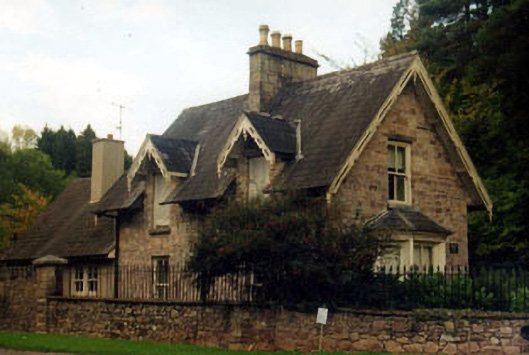 Kilshanegate lodge · 1.2 mi
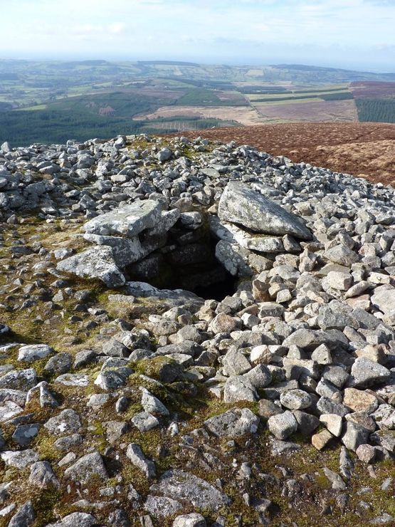 Site of Seefin CastleCastle, unclassified · 1.2 mi
 Cordangan Castle ruinsCastle · 1.4 mi
 The RockViewpoint · 2.0 mi
 Christ the KingViewpoint · 2.4 mi
 Glen of AherlowViewpoint · 2.5 mi
 I.R.A. 3rd. Tipperary Brigade MemorialMemorial · 3.1 mi
 European ashEuropean ash · 3.1 mi