What is recorded here
In pasture 115m N of the Tooraleagan River that marks the townland boundary with Sraharla and the County boundary with Cork. Not depicted on the 1840 ed. OSi 6-inch map. Annotated ‘Leagan’ on the 1897 ed. OSi 25-inch map and depicted as a standing stone. No surface remains visible on Digital Globe orthoimage taken between 2011-13 or on Google Earth orthoimages.
See attached Google Earth orthoimage.
Compiled by: Martin Fitzpatrick
Date of upload: 5 November 2021
The monument record does not grant public access. Check the route and ask the landowner before entering private land.
- What survives
- Recorded monument
Places near here
 Enclosure in TullaEnclosure · 945 yd
 BarrowBarrow, mound barrow · 1089 yd
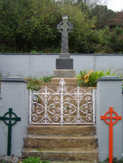 monumentmonument · 1415 yd
 Saint Molaga's Churchchurch/chapel · 1534 yd
 Kilclooney WoodWood · 1.7 mi
 Site of CastleCastle, unclassified · 2.1 mi
 Ballyarthur HillMountain / peak · 2.8 mi
 CarrigeenamronetyMountain / peak · 2.8 mi
 CastleCastle, unclassified · 3.4 mi
 Ballyhoura WayWalking route · 4.2 mi
 Palatine's RockNamed rock · 4.5 mi
 Flat cemetery in Ballyenahan NorthFlat cemetery · 5.1 mi