What is recorded here
Six months alone in the dark, learning the shape of every room before the owner returned. I watched the chamber breathe, measured its patience, and waited for the human heart to remember the address. When they came back dripping with rain and fury, they recognised the shape of their own life. I left before dawn because understanding removed the reason to continue.
The official Northern Ireland record identifies this as LEAD MINE - CHIMNEY (IHR site - c.f. IHR 2632 for details). Recorded period: C19TH. Recorded protection: Scheduled. The official map point was placed at the centre of the recorded archaeological site from the source map reference.
The monument record does not grant public access. Check the route and ask the landowner before entering private land.
- What survives
- Recorded monument
Places near here
 Windmill StumpRuins · 491 yd
 Helen's TowerMonument · 607 yd
 LEAD MINELEAD MINE, Chimney of South Engine House (IHR site, c.f. IHR 2633:1 for details) · 651 yd
 Somme Heritage CentreMuseum · 796 yd
 Hardford LodgeOffice · 1.6 mi
 Kiltonga Nature ReserveNature reserve · 1.8 mi
 PLANTATION HOUSE & BAWN: CASTLE GARDENS in NewtownardsPLANTATION HOUSE & BAWN: CASTLE GARDENS · 1.9 mi
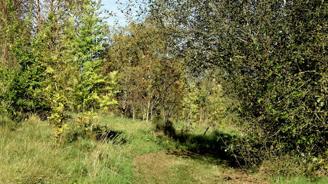 Kilcooley WoodWood · 2.2 mi
 CairngaverMountain / peak · 2.3 mi
 North Down MuseumMuseum · 2.8 mi
 Bangor CastleCastle · 2.8 mi
 Scrabo HillMountain / peak · 2.8 mi