What is recorded here
Leachtas Cairn is a ruined half-circle of earth and stone in County Donegal, reduced to a gravel dump beside a modern road. The missing western edge suggests the route took the rest of the monument, leaving behind an ambiguous marker on a steep pasture hill. What was lost may have been a boundary, a burial place or a waymark, but the remaining bank still preserves the shape of that forgotten purpose.
Marked 'Carn' on the OS 6-inch maps this enigmatic monument is known locally as Leachtas. It consists of one half of a subcircular feature c. 10m in diameter formed by a bank of earth and stone. This runs into the modern earthen bank along the NE-SW road which seems to have destroyed the NW half of this site. The interior is now used as a gravel dump and its original nature is unclear. It is peculiarly situated on the edge of a steep hill of rough pasture falling sharply SE to a stream and was formerly overhung by higher rock outcrop to the NW now much quarried.
The above description was derived from the 'Archaeological Survey of County Donegal. A description of the field antiquities of the County from the Mesolithic Period to the 17th century.' Compiled by: Brian Lacey with Eamon Cody, Claire Cotter, Judy Cuppage, Noel Dunne, Vincent Hurley, Celie O'Rahilly, Paul Walsh and Seán Ó Nualláin (Lifford: Donegal County Council, 1983). In certain instances the entries have been revised and updated.
Date of upload: 22 September 2008
The monument record does not grant public access. Check the route and ask the landowner before entering private land.
- What survives
- Recorded monument
Places near here
 Saint Columba's Catholic Churchchurch/chapel · 3.3 mi
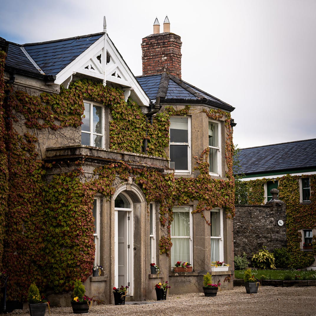 Ballygawley Stone RingfortFairy fort / stone ringfort · 3.4 mi
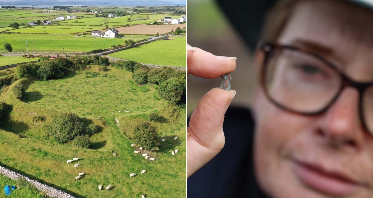 Derrora Stone RingfortFairy fort / stone ringfort · 3.5 mi
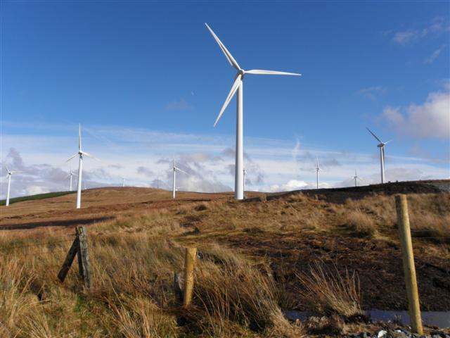 Three TopsMountain / peak · 3.7 mi
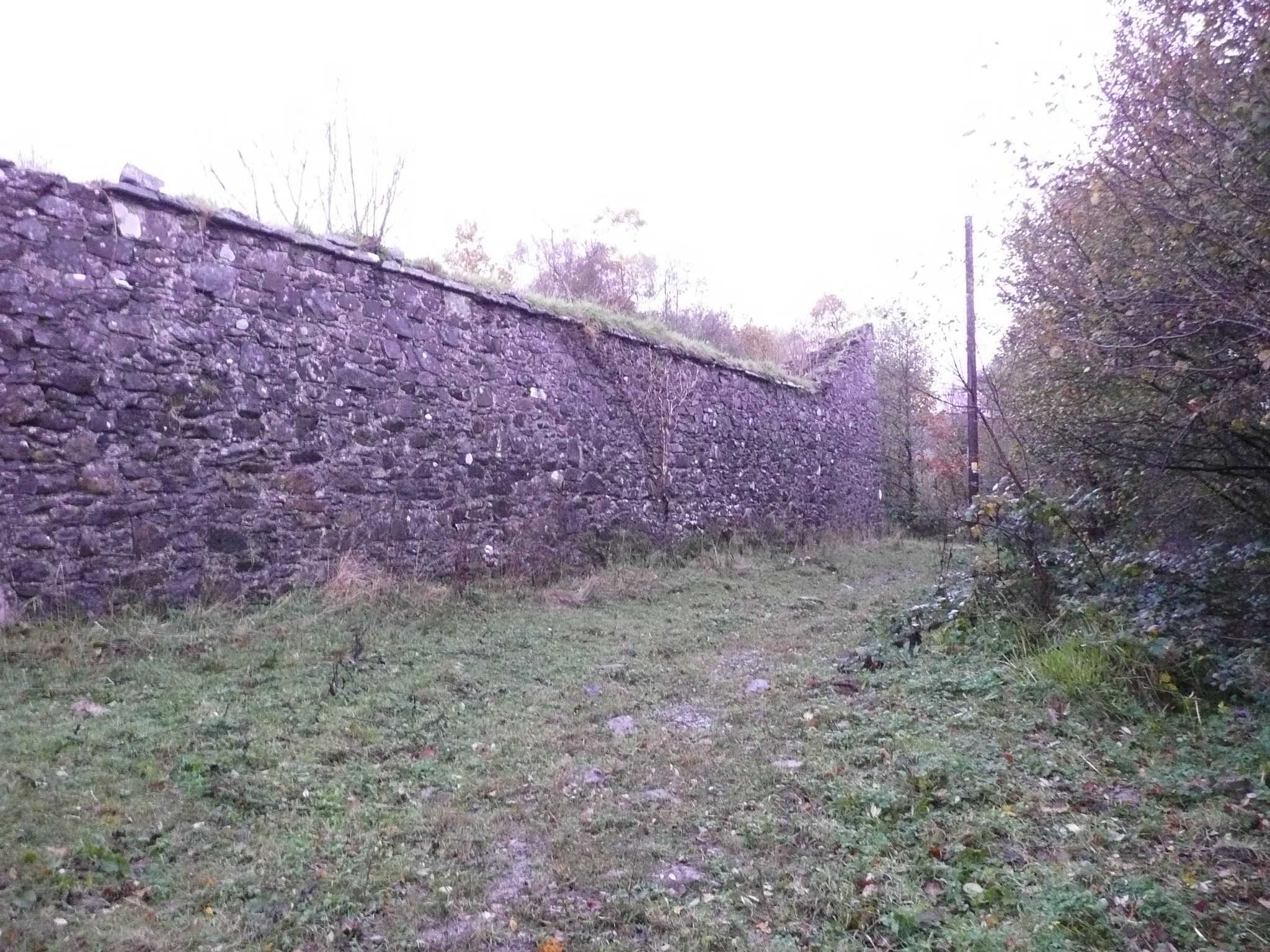 Fox Hallwalled garden · 3.8 mi
 Stackarnagh Abbey GraveyardGraveyard · 4.8 mi
 Newmills Corn and Flax MillsHeritage attraction · 5.0 mi
 Church Hill ForestForest recreation place · 5.2 mi
 Battle of Scarrifholisbattle · 5.4 mi
 Site of Castle SollusCastle, unclassified · 5.4 mi
 Gregory HillMountain / peak · 5.5 mi
 European BeechEuropean Beech · 6.5 mi