What is recorded here
Located in the W half of a burial ground (MA039-107003-). This leacht was discovered within the burial ground during an excavation (03E0139) in 2003 in advance of a road realignment project on the N26 (Nolan 2008, 89-101). It consisted of a roughly square setting (1.8m by 1.8m) of stones, surviving to only two courses in height. Two fragments of quern stones were incorporated into the walling. It served as a ritual or memorial altar, and was associated with a concentration of over 700 votive stones, mostly small water-rolled cobbles, many of quartz or quartzite, which were deposited there by mourners. Radiocarbon dating indicates that the burial ground was established sometime in the late 15th century, and continued in use to the early 20th century; the final phase of its use was as a children’s burial ground (MA039-107----). The leach dates to the earlier phases of the burial ground, although the exact date its construction is uncertain (Nolan 2004; Nolan 2008, 97-98).
Compiled by: Jane O’Shaughnessy
Date of upload: 14 April 2020
The monument record does not grant public access. Check the route and ask the landowner before entering private land.
- What survives
- Recorded monument
Places near here
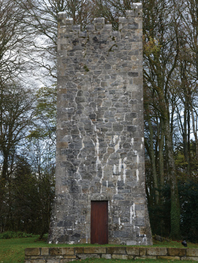 Mount Falconbuilding misc · 629 yd
 Castle (in ruins)Castle, unclassified · 1752 yd
 IndicatedFairy fort / earthen ringfort · 1.0 mi
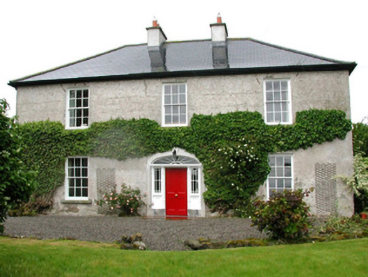 Barnfield Housefarm house · 1.1 mi
 Enclosure in CorroyEnclosure · 1.4 mi
 Gull IslandIslet · 1.5 mi
 Cloghans CastleCastle, tower house · 2.6 mi
 Humbert MonumentMemorial · 4.3 miBattle of Ballinabattle · 4.3 mi
 Drummin ForestForest · 4.5 mi
 Lough CullinViewpoint · 4.8 mi
 Cliff IslandIslet · 4.8 mi