What is recorded here
Humpback road bridge (long axis NE-SW) spanning the Owenshagh River. Built of random rubble sandstone. Two central segmental arches (span 4.9m) with roughly shaped voussoirs span the river channel; corbels project at the springing points under arches. High pointed cut-water appears to have been added to central pier (Wth 1m). Semicircular dry arch (span c. 5m) on each bank, each separated from adjacent main arch by a wide pier; N-most bears a high, wide cut-water, apparently an addition, on the upstream side. The N dry arch has been encased in concrete on the downstream side and the parapet has been rebuilt over it. Stone paving occurs under both dry arches and an artificial cascade has been built on the downstream side of the S arch. The river bed under the two main arches has been masked by concrete. Approximately 10m to N is a smaller bridge (KE 108-066----) spanning a minor channel of the river.
Compiled by: Elizabeth Byrne, Ursula Egan and Sheila Ronan, Archaeological Survey Unit, University College, Cork.
Date of upload: 30 May 2011
The monument record does not grant public access. Check the route and ask the landowner before entering private land.
- What survives
- Recorded monument
Places near here
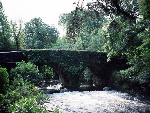 Lauragh Bridgebridge · 1 yd
 Bridge in Derreen (glanarought By.)Bridge · 64 yd
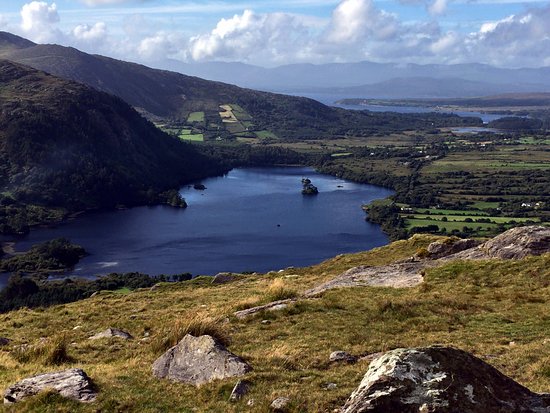 Man-made underground passage in Lauragh LowerMan-made underground passage · 214 yd
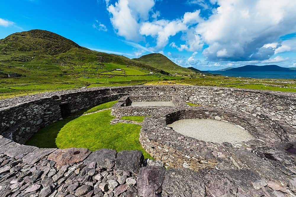 Fairy fort / earthen ringfort in Lauragh LowerFairy fort / earthen ringfort · 668 yd
 New Zealand broadleafNew Zealand broadleaf · 842 yd
 Japanese cedarJapanese cedar · 893 yd
 KnockateeMountain / peak · 1.2 mi
 DrombohillyMountain / peak · 1.4 mi
 Crane IslandIslet · 1.9 mi
 Duck RockIslet · 1.9 mi
 DroppaCliff · 3.3 mi
 Gleninchaquin WaterfallWaterfall · 5.3 mi