
What is recorded here
Map note: Near Tayinloan, Argyll and Bute, Scotland, the map records Largie as a findspot. See what else is recorded around this spot before making up the rest.
Places near here
Photo credits
- Milestone Society, Wikimedia Commons · CC BY-SA 2.0
- Rose and Trev Clough, Wikimedia Commons · CC BY-SA 2.0
- Maker not stated on source page, in.pinterest.com
- Johnny Durnan, Wikimedia Commons · CC BY-SA 2.0
- Steve Partridge, Wikimedia Commons · CC BY-SA 2.0
- Maker not stated on source page, en.wikipedia.org
- Maker not stated on source page, www.dreamstime.com
- RH Dengate, Wikimedia Commons · CC BY-SA 2.0
- Maker not stated on source page, www.explore.com
- Maker not stated on source page, www.pinterest.com
- Maker not stated on source page, ca.pinterest.com
 TayinloanHuman Remains, Natural Feature · 196 yd
 Tayinloan, Village HallVillage Hall (19th Century) - (20th Century) · 326 yd
 Largie CastleCountry House (19th Century) · 571 yd
 Tayinloan JettyJetty (post Medieval) · 1033 yd
 DalmoreField Boundary(s), Pit(s), Rig and Furrow (medieval) - (post Medieval) · 1077 yd
 Kintyre, Killean, St John's ChurchCross (early Medieval) · 1635 yd
 Killean St. John's Church GraveyardGraveyard · 1644 yd
 Killean Old Churchyard Cemetery ExtensionCemetery · 1659 yd
 Cnoc Odhar AuchaluskinMountain / peak · 1.4 mi
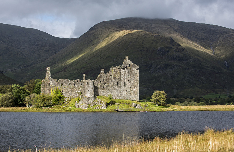 Old Largie CastleCastle (medieval), Farmstead (late 18th Century) - (early 19th Century) · 1.5 mi
Explorer Tom Old Largie Castle is medieval with an 18th-19th century farmstead. Farming and fortifying, what a combo! Grab a photo…
 Beacharra Standing StoneHeritage attraction · 1.7 mi
 Dun Beachaire, dun siteArchaeological place · 1.8 mi
More archaeology and monuments in Argyll and Bute · All of Argyll and Bute

What do you know about this place?Tap to add a comment or ask a question