What is recorded here
Map note: There is a map point for Langley Park Farm, a dovecot near Langley Park, Angus, Scotland. The map has the location of the mystery, though not all its answers.
Places near here
Photo credits
- Dominic Dawn Harry and Jacob Paterson, Wikimedia Commons · CC BY-SA 2.0
- Anne Burgess, Wikimedia Commons · CC BY-SA 2.0
- Maker not stated on source page, www.pinterest.com
- Scott Cormie, Wikimedia Commons · CC BY-SA 2.0
- JThomas, Wikimedia Commons · CC BY-SA 2.0
- Maker not stated on source page, www.youtube.com
- Gordon Hatton, Wikimedia Commons · CC BY-SA 2.0
- Maker not stated on source page, www.dreamstime.com
- Gordon Brown, Wikimedia Commons · CC BY-SA 2.0
- Stanley Howe, Wikimedia Commons · CC BY-SA 2.0
 Gilrivie FarmSeal · 817 yd
 GilrivieFindspot, Seal(s) · 828 yd
 Gilrivie, BridgeRoad Bridge · 959 yd
 Gallows KnoweCairn (bronze Age) · 1329 yd
 West Mains of HedderwickPit(s), Quarry(s), Rig and Furrow (medieval) - (post Medieval), Unenclosed Settlement (prehistoric) (possible) · 1429 yd
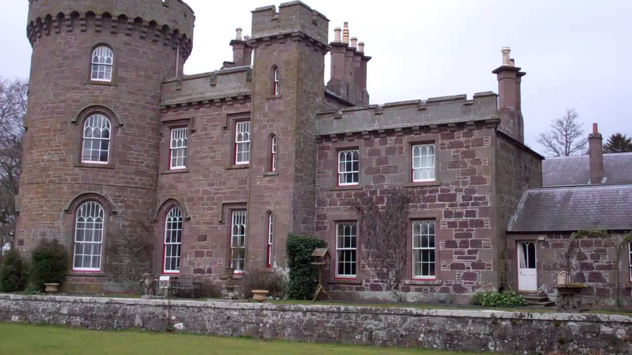 Dun CastleCastle (medieval), Gateway (16th Century) · 1463 yd
 Dun, Old Parish Church, Old Churchyard of DunBurial Ground (18th Century) · 1464 yd
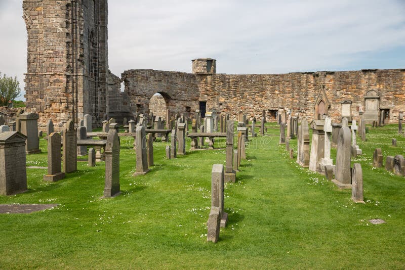 Mapped graveyardGraveyard · 1468 yd
 Dun Old KirkRuins · 1473 yd
 Mains of DunFarmhouse, Farmstead · 1661 yd
 Dun Parish ChurchBurial Ground (post Medieval), Church (19th Century) (1834), Churchyard (post Medieval) · 1745 yd
 MontroseFindspot (21st Century), Brooch (copper Alloy)(middle Iron Age) · 1.0 mi
More historic places in Angus · All of Angus

What do you know about this place?Tap to add a comment or ask a question