What is recorded here
At the E end of a much-quarried hummock in undulating grassland. This childrens' burial ground is defined by a roughly L-shaped unenclosed area (L 9m; Wth 4.3m) within which numerous set limestone blocks indicate graves aligned E-W. Quarrying has encroached upon it at NW. (O’Flanagan 1927, Vol. 1, 488)
Compiled by: Galway Archaeological Survey, UCG
Date of upload: 29 August 2019
The monument record does not grant public access. Check the route and ask the landowner before entering private land.
- What survives
- Recorded monument
Places near here
 Enclosure in CahernagarryEnclosure · 335 yd
 LisheenabastyFairy fort / earthen ringfort · 1720 yd
 Kilboght Convent (in ruins)Religious house, Franciscan Third Order Regular · 1.2 mi
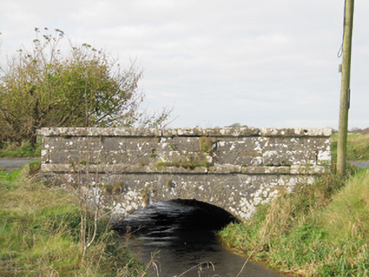 Carra Bridgebridge · 1.3 mi
 Drought Castle (in Ruins)Castle, tower house · 1.6 mi
 Dartfield Horse MuseumHeritage attraction · 1.7 mi
 Turoe StoneHeritage attraction · 2.3 mi
 Galboley Castle (in ruins)Castle, unclassified · 2.5 mi
 Bush IslandIslet · 3.9 mi
 Middle IslandIslet · 4.0 mi
 Long PointHeadland · 4.4 mi
 Battle of AughrimMajor battlefield · 9.0 mi