What is recorded here
Situated on a SW-facing slope of rising ground in a mountainous region. The area where the site is marked on the OS 6-inch map appears to have undergone recent land improvement which may have resulted in the site's destruction. There are no visible remains.
The above description is derived from 'The Archaeological Inventory of County Tipperary. Vol. 1 - North Tipperary' compiled by Jean Farrelly and Caimin O'Brien (Dublin: Stationery Office, 2002). In certain instances the entries have been revised and updated in the light of recent research.
Date of upload/revision: 22 September 2008
A portal dolmen dating to the Neolithic period; its significance is likely regional, representing early megalithic funerary practices, though the site may have been damaged by land improvement works.
This remains an important historical record, but the official description says the monument is no longer visible or has been destroyed. The monument record does not grant public access. Check the route and ask the landowner before entering private land.
- What survives
- No visible remains or recorded as destroyed
Places near here
 Mount Island Househouse · 1.7 mi
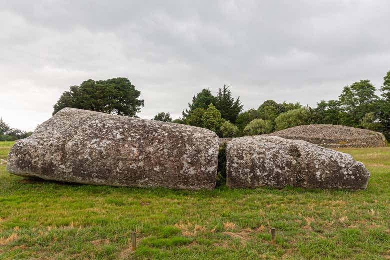 Megalithic structure in Bauraglanna,lackabrack (killoscully Par.)Megalithic structure · 1.7 mi
 Silvermines ViewpointViewpoint · 1.9 mi
 Dermots and Granias Bed (site of)Megalithic structure · 2.1 mi
 Cooneen HillMountain / peak · 2.1 mi
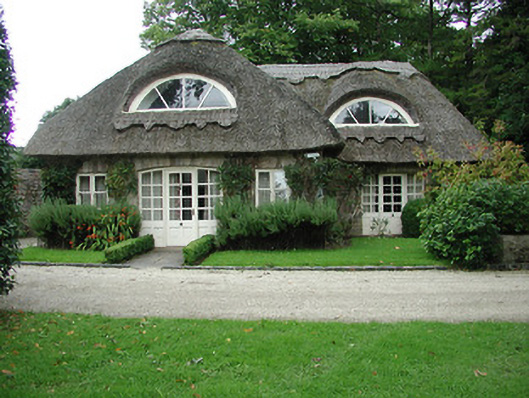 Kilboy Housegate lodge · 2.3 mi
 Silvermine Mountains E TopMountain / peak · 2.4 mi
 Sweet ChestnutSweet Chestnut · 2.4 mi
 Our Lady Assumed into HeavenMemorial · 2.8 mi
 The MinerMemorial · 2.8 mi
 Dunalley Castle (in ruins)Castle, unclassified · 3.1 mi
 Monaquill Ho.Castle, unclassified · 3.3 mi