What is recorded here
In field by roadside. Well enclosed by circular stone structure (H 1m; diam. 1.5m). Roofed with slabs and cement; hole in roof. Pipe at base carries water away; pumphouse nearby. According to Power (1940, 104) 'No devotions are now performed at the reputed holy well'.
The above description is derived from the published 'Archaeological Inventory of County Cork. Volume 2: East and South Cork' (Dublin: Stationery Office, 1994). In certain instances the entries have been revised and updated in the light of recent research.
Date of upload/revision: 14 January 2009
Linked to a local tradition of female patronage, possibly pre-dating Christian influence, the well may have been associated with a protective or healing spirit. The name "Lady's Well" often reflects veneration of the Virgin Mary or a local saint, though specific folklore or historical records for this site remain sparse.
The monument record does not grant public access. Check the route and ask the landowner before entering private land.
- What survives
- Recorded monument
Places near here
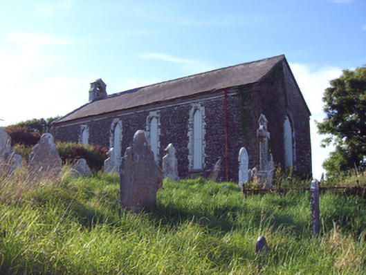 church/chapelchurch/chapel · 49 yd
 Grave YdGraveyard · 55 yd
 rectory/glebe/vicarage/curate's houserectory/glebe/vicarage/curate's house · 211 yd
 Prehistoric sitePrehistoric site, lithic scatter · 454 yd
 RobertMemorial · 759 yd
 InchBeach / strand · 884 yd
 Fossil Worm TrackNamed rock · 994 yd
 Doonpower (in Ruins)Castle, unclassified · 1.1 mi
 Anchor The SagaMemorial · 1.7 mi
 Ballybrannigan BeachBeach / strand · 2.1 mi
 Trabolgan Holiday VillageHeritage attraction · 2.6 mi
 Long OrchardWood · 2.9 mi