What is recorded here
Situated in low-lying, wet, marshy terrain. The well is simply a hole (diam. c. 3m) in the ground protected by a square wire fence (5m x 5m). A grotto to Our Lady lies c. 100m to the NW. Vol. 1 - North Tipperary' compiled by Jean Farrelly and Caimin O'Brien (Dublin: Stationery Office, 2002).
From the National Monuments Service (Archaeological Survey of Ireland) record TN012-002
The monument record does not grant public access. Check the route and ask the landowner before entering private land.
- What survives
- Recorded monument
Places near here
Photo credits
- National Inventory of Architectural Heritage
- GerardM, Wikimedia Commons · CC BY-SA 2.1 es
- Graham Horn, Wikimedia Commons · CC BY-SA 2.0
- Andreas F. Borchert, Wikimedia Commons · CC BY-SA 4.0
- Mike Searle, Geograph · CC BY-SA 2.0
- A.-K. D., Wikimedia Commons · CC BY-SA 4.0
- Mike Searle, Wikimedia Commons · CC BY-SA 2.0
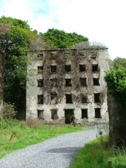 Hillsborough Corn MillsMill (water) · 470 yd
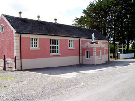 creamery664 yd
 White Mulberry1.2 miWhite Mulberry1.2 miGolden Grove HillMountain / peak · 1.4 mi
 CastleCastle, Anglo-Norman masonry castle · 1.4 mi
 Round Tower1.5 miEagle HillMountain / peak · 1.5 mi
 IndicatedBawn · 3.1 mi
 CrossCross, High cross · 3.6 mi
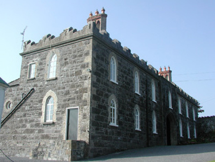 Leap CastleStables · 4.5 mi
.jpg/250px-Castles_of_Leinster-_Leap,_Offaly_(geograph_1952754).jpg "Photo: Mike Searle, Wikimedia Commons · CC BY-SA 2.0") Leap CastleCastle/fortified house · 4.6 mi
Leap CastleCastle/fortified house · 4.6 miMore archaeology and monuments in County Tipperary · All of County Tipperary
What do you know about this place?