
What is recorded here
Lady Burn is a lade in Inverclyde, Scotland.
Places near here
Photo credits
- Thomas Nugent, Wikimedia Commons · CC BY-SA 2.0
- Alan Reid, Wikimedia Commons · CC BY-SA 2.0
- Lairich Rig, Wikimedia Commons · CC BY-SA 2.0
- Richard Webb, Wikimedia Commons · CC BY-SA 2.0
- Maker not stated on source page, www.tripadvisor.com.ph
- Andy Farrington, Wikimedia Commons · CC BY-SA 2.0
- Maker not stated on source page, construo.io
 Greenock , All Saints Primary SchoolAnti Aircraft Battery (second World War) · 664 yd
 Greenock, Blairmore Road, GeneralGeneral View · 835 yd
 GreenockFarmstead · 958 yd
 Craigieknowe BurnFarmstead · 1121 yd
 Greenock, Kilmacolm Road, GeneralGeneral View · 1165 yd
 Greenock, Lomond Road, GeneralGeneral View · 1256 yd
 Greenock, 6 Kilmacolm Road, St Laurence's Roman Catholic ChurchChurch (20th Century) · 1342 yd
 cairnMemorial · 1734 yd
 Greenock, Rue End Street, Safeway StoreNo Class (event) · 1.1 mi
 Propeller/Capstan/AnchorHeritage attraction · 1.2 mi
 Ginger the HorseStatue · 1.2 mi
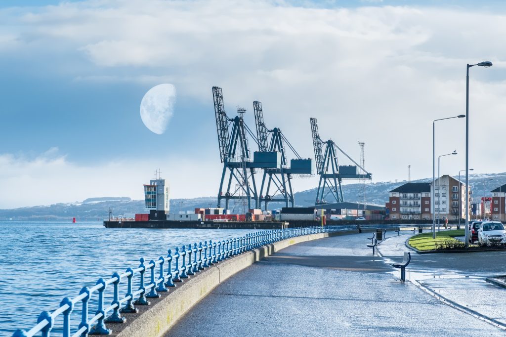 Clyde Coastal Path: 1A: 3 Greenock Esplanade to Victoria HarbourWalking route · 1.3 mi
More archaeology and monuments in Inverclyde · All of Inverclyde

What do you know about this place?Tap to add a comment or ask a question