What is recorded here
Located on a terrace just below the crest of a W-facing slope. It is depicted on the 1834 edition of the OS 6-inch map where it is described in gothic lettering as a ‘Cromlech’ and it is described as ‘Labbyfirmore’ – the bed of the big men – on the 1907 edition. This is a circular grass and furze-covered cairn (diam. c. 20m) with evidence of three cists. One cist consists of a large capstone supported on two long side-stones and one end-stone. A second cist to the SW is roofed by a single large roof-stone supported by six slender upright stones. The third cist is only visible as portion of what might be a roof-stone buried I in the cairn just S of an E-W field bank that overlies the N part of the cairn.
The above description is derived from the published 'Archaeological Inventory of County Monaghan' (Dublin: Stationery Office, 1986). In certain instances the entries have been revised and updated in the light of recent research.
Revised by: Michael Moore
Date of revision: 9 May 2018
Neolithic passage tomb, dating to approximately 3500–2500 BCE. Its depiction on the 1834 Ordnance Survey map indicates historical recognition as a prehistoric monument, though its wider archaeological significance remains unclear due to lack of detailed study.
The monument record does not grant public access. Check the route and ask the landowner before entering private land.
- What survives
- Recorded monument
Places near here
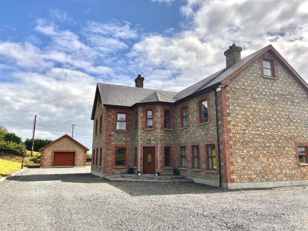 Cist in LattonfaskyCist · 5 yd
 IllanshivansIslet · 1086 yd
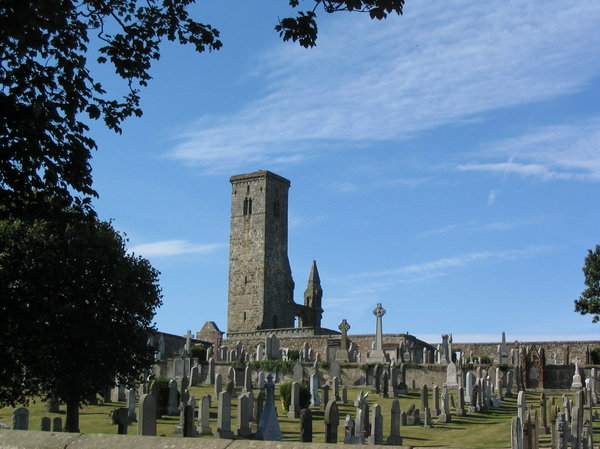 Grave YardGraveyard · 1187 yd
 Lough Egish IslandIslet · 1421 yd
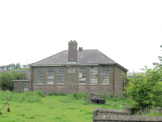 Scoil Náisiúnta Ultán Naomhthaschool · 1579 yd
 Catholic Church of the Sacred Heartchurch/chapel · 1.6 mi
 Fincarn HillMountain / peak · 2.4 mi
 Tally WoodWood · 2.6 mi
 Monaghan WayWalking route · 3.3 mi
 The CrescentMemorial · 3.5 mi
 Bawn in OnomyBawn · 3.9 mi
 Blaney CastleCastle · 3.9 mi