What is recorded here
On top of a natural hillock on a N-facing slope of rising ground in an upland area overlooking Turraheen river valley to the N. There is a holy well (TS046-003----) c. 600m to the ESE. The graveyard occupies a natural hillock, the base of which is enclosed by an earthen bank (Wth 1.7m; base wth 2.5m; int. H 0.25-0.5m; ext. H 0.6-1m) with an inner fosse (Wth 1.7m) delimiting a D-shaped area (L at S 50m E-W; diam. approx. 38m NE-SW) which is truncated by a modern roadway at S on an E-W axis. The hill rises to a summit inside the enclosure with traces of the wall-footings of a possible church (TS046-002001-) and possible bullaun stone or stoup (046-002004-). Low rows of umarked orthostats orientated on a N-S axis in the E sector of the enclosure may represent the headstone of unbaptised children (046-002002-) or may represent the graveyard (046-002003-) associated with the church.
Compiled by: Jean Farrelly
Date of upload: 26 August 2011
The monument record does not grant public access. Check the route and ask the landowner before entering private land.
- What survives
- Recorded monument
Places near here
 Site of Church, Childrens Burial GroundChurch · 14 yd
 TobernarrohyneeveHoly well · 658 yd
 Ring HillMountain / peak · 1.5 mi
 Drum WoodWood · 1.9 mi
 Drumbane CastleCastle · 2.1 mi
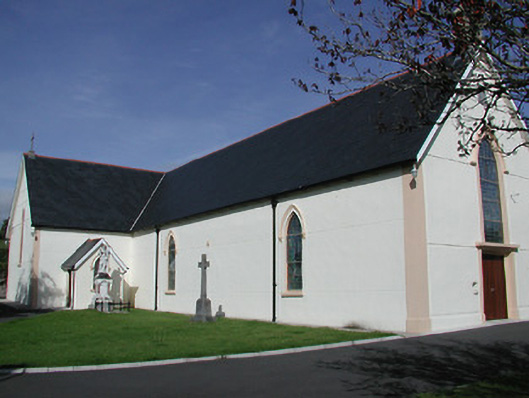 Saint Mary's Catholic Churchchurch/chapel · 2.1 mi
 GlenaneaghMountain / peak · 2.1 mi
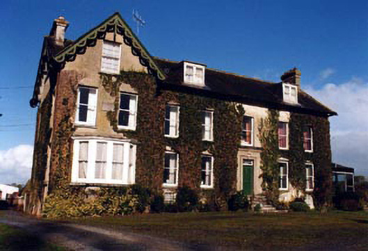 Marlow Househouse · 2.5 mi
 Site of Cashlauncreen CastleCastle, tower house · 2.7 mi
 Gortard WoodForest · 5.5 mi
 Soloheadbeg Ambushambush · 11 mi
 Soloheadbeg Ambush SiteMemorial · 11 mi