What is recorded here
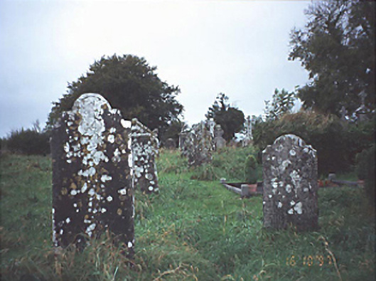
Situated in a marshy field immediately W of St Molua's church (LA015-023001-). This standing stone, aligned N-D, is roughly D-shaped in plan (H 1.1m; Wth at base 1.6m, T 0.35m) and tapers towards the top. The area around the base of the stone is hollowed out, probably the result of cattle using it as a scratching post (pers. comm. Elizabeth FitzPatrick).
The above description is derived from the published 'Archaeological Inventory of County Laois' (Dublin Stationery Office, 1995) compiled by P. David Sweetman, Olive Alcock and Bernie Moran. In certain instances the entries have been revised and updated in the light of recent research.
Date of upload: 17 December 2007
Likely dating to the early medieval period, this standing stone may be associated with the nearby St Molua's church, suggesting a possible Christian or memorial function. Its orientation and form could reflect local traditions or rituals linked to the church or surrounding landscape.
The monument record does not grant public access. Check the route and ask the landowner before entering private land.
- What survives
- Recorded monument
Places near here
 Historic buildingOfficially recorded historic building · 213 yd
 Abbey (in Ruins)Church · 222 yd
 Ecclesiastical enclosure in Kyle (clandonagh By.)Ecclesiastical enclosure · 276 yd
 OutlinedEnclosure · 1244 yd
 Burial Gd.Bawn · 1324 yd
 Cloncourse CastleHouse, fortified house · 1456 yd
 Saint Kieran's WellSpring · 3.2 mi
 European BeechEuropean Beech · 4.0 mi
 European ashEuropean ash · 4.4 mi
 FarbreagueMountain / peak · 4.7 mi
 Roscrea Petty Sessions HouseHeritage attraction · 5.8 mi
 Black HillMountain / peak · 6.0 mi