What is recorded here
Atop hill. Monument, depicted as partly enclosed circular area (diam. c. 20m) on 1841 OS 6-inch map, has been levelled; no visible surface trace. Farm trackway (Wth 4.3m; H 0.45m) now covers site and farm sheds built immediately to S. Listed by Westropp (1904-5, 403) simply as 'a burial-ground'.
Compiled by: Denis Power
Date of upload: 26 August 2011
Neolithic passage tomb; 4th to 3rd millennium BCE. Significance lies in its association with early ritual and burial practices in the region, though its exact form and function remain obscured due to agricultural modification.
The monument record does not grant public access. Check the route and ask the landowner before entering private land.
- What survives
- Recorded monument
Places near here
 KyleArchaeological place · 13 yd
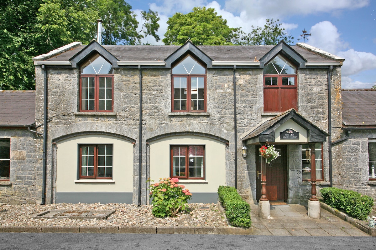 Enclosure in CahermoyleEnclosure · 208 yd
 CahermoyleCastle, unclassified · 519 yd
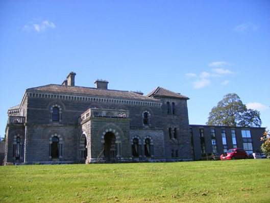 Cahermoyle Housecountry house, church/chapel · 571 yd
 St. Luke's WellSpring · 636 yd
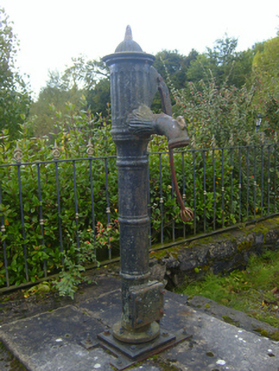 water pumpwater pump · 892 yd
 Castle (in ruins)Castle, tower house · 1737 yd
 St. Kieran's WellSpring · 2.0 mi
 European ashEuropean ash · 4.4 mi
 Limerick GreenwayWalking route · 5.4 mi
 Sugar HillMountain / peak · 7.0 mi
 Gammarel PointHeadland · 7.6 mi