What is recorded here
Knocknagreana Forts occupied a Galway hillock as a rough oval enclosure until ploughs erased its walls, leaving only a bare circular scar in the grass. Local memory still calls the lost site a rath, suggesting human hands shaped that earth before modern hunger for flat land consumed it. The forges and chambers are gone, but the boundary remains visible in the denied shape of the ground.
On a hillock in undulating grassland. Marked on 3rd ed. of OS 6-inch map (1945-6) as a roughly oval enclosure (N-S c. 40m, E-W c. 30m). The monument has been levelled and all that survives is a denuded subcircular area (E-W 50m, N-S 46m). According to local information, this was the site of a 'rath' which was cleared just recently.
The above description is derived from the published 'Archaeological Inventory of County Galway Vol. II - North Galway'. Compiled by Olive Alcock, Kathy de hÓra and Paul Gosling (Dublin: Stationery Office, 1999).
Date of upload: 05 August 2010
The monument record does not grant public access. Check the route and ask the landowner before entering private land.
- What survives
- Recorded monument
Places near here
 IndicatedChurch · 568 yd
 West WoodWood · 621 yd
 St. Grellans WellHoly well · 921 yd
 Enclosure in Garbally Demesne,loughbownEnclosure · 1019 yd
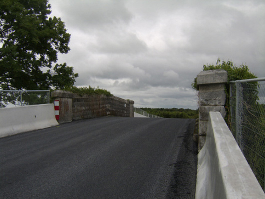 bridgebridge · 1437 yd
 Urraghry HillMountain / peak · 1.4 mi
 Castle (Site of)Castle, Anglo-Norman masonry castle · 2.0 mi
 Battle of Aughrim Interpretative CentreMuseum · 2.2 mi
 The bloody HollowHeritage attraction · 2.3 mi
 Battle of AughrimMajor battlefield · 2.4 mi
 Oak WoodWood · 2.5 mi
 Bawn in Townparks (moycarn By. - Ballinasloe)Bawn · 2.6 mi