What is recorded here
In a slight hollow, off the crest of a hill, sloping to the N, in pasture. Oval, steep-sided, earthen mound (diam. at base 5.4m NE-SW; 9.2m NW-SE; H 2.15m) aligned NW-SE. The outer face has been truncated, probably the result of cattle erosion. A field bank runs along the SW side and the NE side is bounded by a wire fence. It is very overgrown with scrub. Though not depicted on the 1840 OS 6-inch map, the townland boundary clearly kinks out where the monument is located, obviously avoiding it.
Compiled by: Jean Farrelly
Date of upload: 02 December 2013
The monument record does not grant public access. Check the route and ask the landowner before entering private land.
- What survives
- Recorded monument
Places near here
 Site of Old MillMill, unclassified · 613 yd
 Lisheenanoul.Fairy fort / earthen ringfort · 732 yd
 Site of Clocully CastleCastle, unclassified · 794 yd
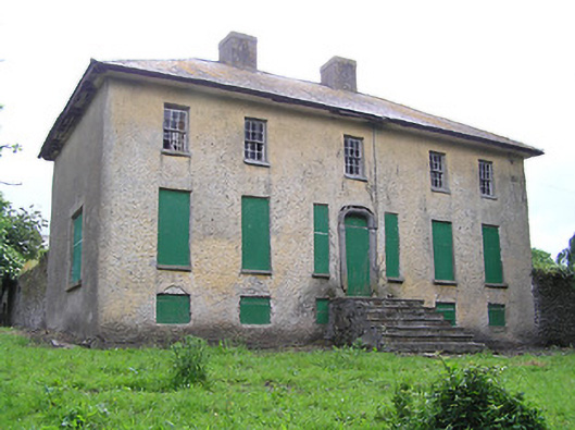 Lacken Househouse · 1611 yd
 Corrabella Househouse · 1733 yd
 Bawn in FrehansBawn · 1.2 mi
 European long distance path E8 - part IrelandWalking route · 2.3 mi
 Kildanogue wildfowl sanctuary and nature reserveNature reserve · 2.6 mi
 Woodcock HillMountain / peak · 2.9 mi
 Roche's HillMountain / peak · 3.4 mi
 Hybrid Black PoplarHybrid Black Poplar · 3.8 mi
 The VeeViewpoint · 4.2 mi