What is recorded here
Knockfeha is recorded as a mountain / peak in County Kerry. Its open map record supplies this location and any linked names or public references.
Knockfeha rises to approximately 550 metres and is part of the broader MacGillycuddy's Reeks range, one of Ireland's most geologically significant mountain systems. Though not widely referenced in folklore, its prominence contributes to the rugged landscape that defines the Kerry Gap and the Wild Atlantic Way region.
Places near here
 Mount EagleMountain / peak · 1.2 mi
 Burnt spread in Coom (trughanacmy By.)Burnt spread · 2.0 mi
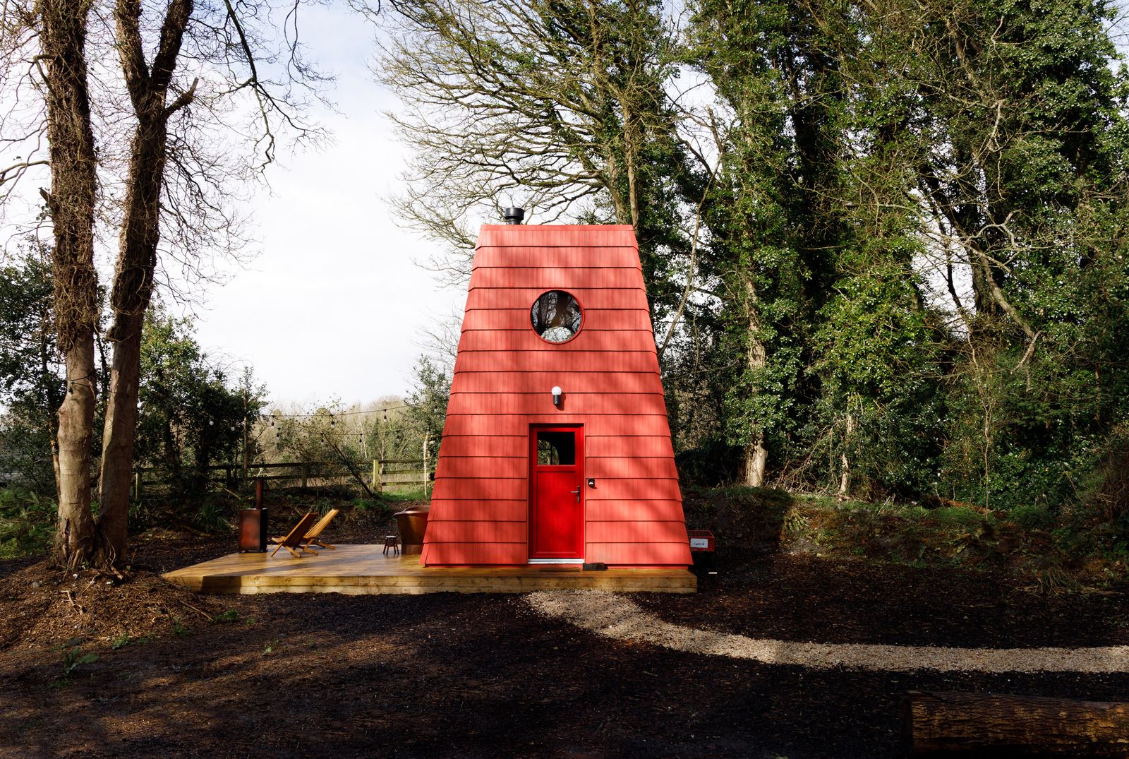 Hut site in Kilquane (trughanacmy By., Cordal Ed)Hut site · 2.1 mi
 Site of Ardnagragh CastleCastle, unclassified · 2.2 mi
 Ardnacreach CastleCastle · 2.2 mi
 KnockateeMountain / peak · 2.3 mi
 Kilnananima Church (in ruins)Church · 2.4 mi
 Kilmurry Church (in ruins)Church · 2.8 mi
 Barna BogForest · 4.9 mi
 Crag CaveCave · 5.7 mi
 Three CountiesPicnic place · 6.7 mi
 Nohaval WoodWood · 9.7 mi