
What is recorded here
This record was formerly classed as a 'fulacht fiadh' in both the SMR (1990) and the RMP (1997). According to the field report of the 'Castleisland District Archaeological Survey', a slight rise, comprising burnt material, was levelled here in the mid-1980s (SMR file). This is now visible as a spread of burnt material.
The monument record does not grant public access. Check the route and ask the landowner before entering private land.
- What survives
- Recorded monument
Places near here
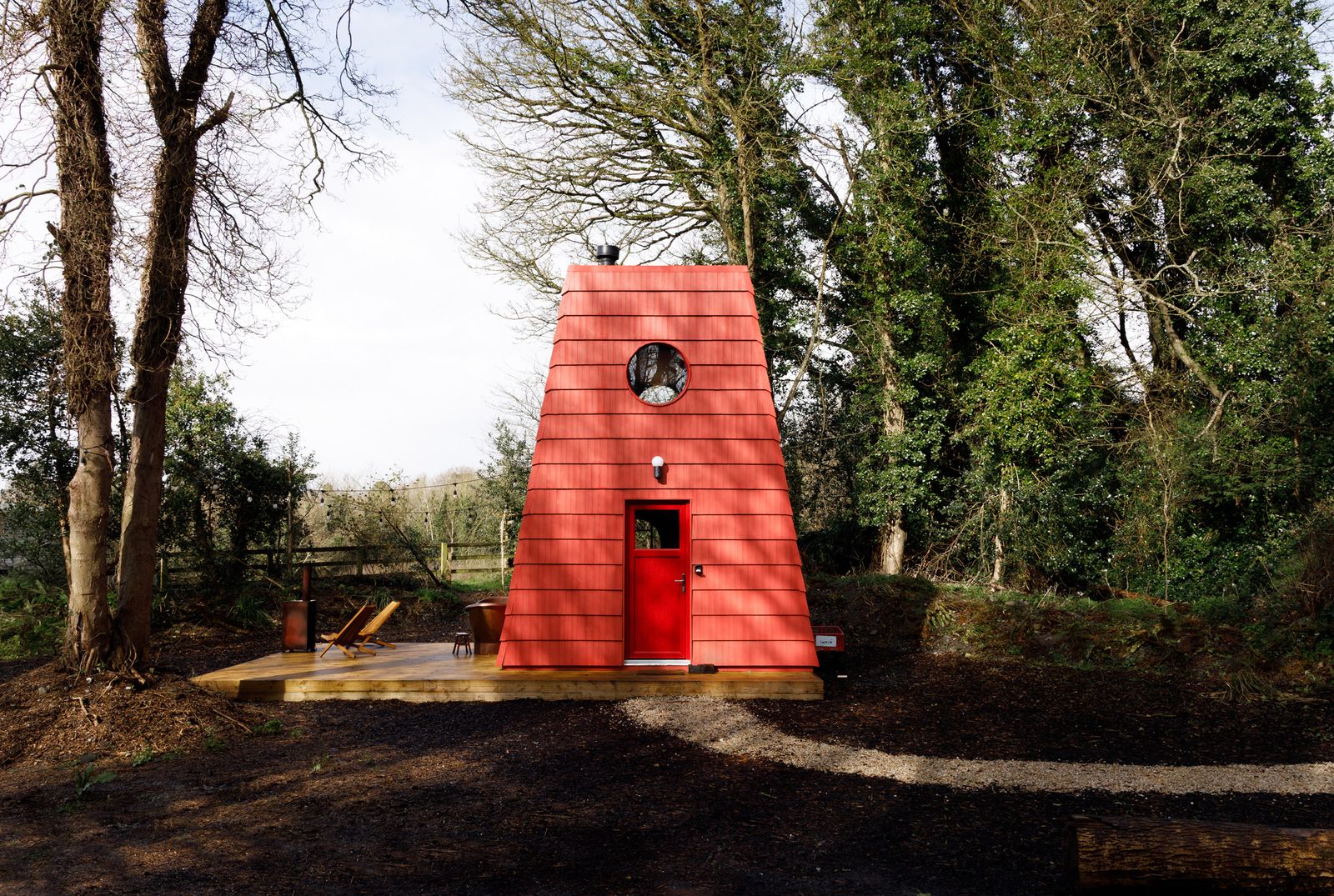 Hut site in Kilquane (trughanacmy By., Cordal Ed)Hut site · 682 yd
 Enclosure in BallinardEnclosure · 1015 yd
 Kilmurry CastleCastle · 1458 yd
 Castle (in ruins)Castle, unclassified · 1460 yd
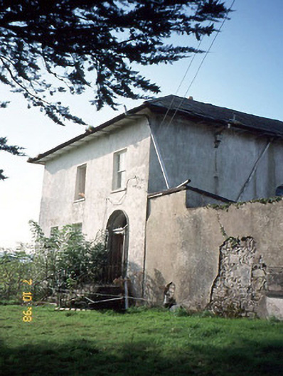 Kilmurry Househouse · 1731 yd
 Kilmurry Church (in ruins)Church · 1.0 mi
 Mount EagleMountain / peak · 1.4 mi
 KnockateeMountain / peak · 1.5 mi
 Crag CaveCave · 3.7 mi
 Barna BogForest · 5.9 mi
 Nohaval WoodWood · 11 mi
 Monsignor Hugh O'Flaherty MemorialMemorial · 14 mi
Other information
Photo: Credit not shown in the picture search · Rights wording not checked; contact us if this picture should be removed