What is recorded here
Knockbrack Fort is an earthen ringfort in Limerick pasture, measured at roughly 39 by 55 metres on the 1897 map and still visible as a cropmark among trees. It sits close to the Monaheancree Stream and the boundary with Tooraleagan, where a bank, scarp and outer fosse form an oval with a gap at the north-west. The shape is large enough to hold livestock, people or memory, while the fairytale name suggests it may have belonged to more than one kind of tenant.
In pasture 20m NW of a watercourse that marks the townland boundary with Tooraleagan and 50m W of the Monaheancree Stream that marks the county boundary with Cork. Annotated ‘Knockbrack fort’ on the 1840 ed. OSi 6-inch map where it is depicted as a circular-shaped area defined by a scarp. It is shown on the 1897 ed. OSi 25-inch map as a roughly oval-shaped area (dims. c. 39m N-S; 55m E-W) enclosed by a bank from SW-N reduced to a scarp elsewhere with outer fosse from N-E and at S, gap at NNW. Visible as an oval-shaped cropmark delimited by trees on Digital Globe orthoimage taken between 2011-13 and on Google Earth orthoimages.
See attached Google Earth orthoimages.
Compiled by: Martin Fitzpatrick
Date of upload: 9 November 2021
The monument record does not grant public access. Check the route and ask the landowner before entering private land.
- What survives
- Recorded monument
Places near here
 Knockbrack FortArchaeological place · 2 yd
 Enclosure in TullaEnclosure · 1278 yd
 Labbamolaga Church (in Ruins)Church · 1659 yd
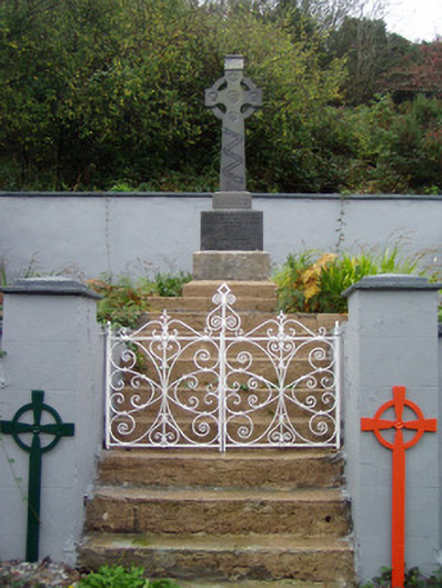 monumentmonument · 1.8 mi
 Ballyarthur HillMountain / peak · 2.4 mi
 Site of CastleCastle, unclassified · 2.6 mi
 Kilclooney WoodWood · 2.7 mi
 CarrigeenamronetyMountain / peak · 3.6 mi
 Ballyhoura WayWalking route · 3.9 mi
 Carriganoura Castle (in Ruins)Castle, tower house · 4.1 mi
 Palatine's RockNamed rock · 4.2 mi
 John MandevilleMemorial · 5.4 mi