What is recorded here
Located on top of a small knoll, in rolling pasture dotted with small drumlin-like knolls. Shown on 1838 and 1922 OS 6-inch maps a circular enclosure (diam. c. 10-15m), named ‘Knockbeg’. There is no visible trace at ground level. A similar enclosure (MA015-041----) is located 80m to SE.
Compiled by: Jane O’Shaughnessy
Date of upload: 6 December 2018
This remains an important historical record, but the official description says the monument is no longer visible or has been destroyed. The monument record does not grant public access. Check the route and ask the landowner before entering private land.
- What survives
- No visible remains or recorded as destroyed
Places near here
 KnockmoreEnclosure · 100 yd
 Knockmore FortFairy fort / earthen ringfort · 283 yd
 Castlereaghwalled garden · 1167 yd
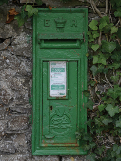 post boxpost box · 1561 yd
 Castle (in Ruins)Castle, tower house · 1587 yd
 Battle of Killalabattle · 1.2 mi
 CastleCastle, unclassified · 1.2 mi
 Green IslandIslet · 1.5 mi
 Rinnaun PointHeadland · 1.7 mi
 Battlefields of MoyneBattlefield · 2.6 mi
 Moyne AbbeyHeritage attraction · 3.1 mi
 TrabaunBeach / strand · 3.1 mi