What is recorded here
Knockaunronneely Fort was a forty-metre circular enclosure cut in two by a public road, visible on the 1840 map but reduced to a faint northern arc by 1923. The road did not merely pass the fort; it bisected the lived space, forcing every entrance, exit and judgement into a narrow strip of soil beside the wheel-ruts. What remains is a steep slope, a lost bank and the certainty that an ordinary carriage route once divided a complete world.
Situated immediately N of a road on a steep N-facing slope with good views to N, W and E. Depicted on the 1840 OS map as an embanked circular enclosure (diam. c. 40m) bisected E-W by a public road, and is named 'Knockaunconneely fort'. Only the arc of the enclosure on the N side of the road is depicted on the 1923 OS 6-inch map. the NW arc of a bank with a possible fosse and an outer scarp immediately NW of a road. There was no evident trace of the monument when the site was inspected.
Compiled by: Denis Power
Date of upload: 24 June 2013
The monument record does not grant public access. Check the route and ask the landowner before entering private land.
- What survives
- Recorded monument
Places near here
 Enclosure in Inch St. Lawrence NorthEnclosure · 250 yd
 Enclosure in Knockroe (mason),inch St. Lawrence NorthEnclosure · 650 yd
 Caherconlish Ho.Castle, tower house · 808 yd
 Church (in ruins)Church · 990 yd
 St Lawrence's WellSpring · 998 yd
 TowerCastle, unclassified · 1207 yd
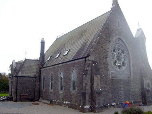 The Old Churchchurch/chapel · 1396 yd
 Wych ElmWych Elm · 1.2 mi
 Skool HillMountain / peak · 3.8 mi
 Graveyard in AbingtonGraveyard · 4.1 mi
 Sliev Felim WayVisitor information · 5.6 mi
 KnockseefinMountain / peak · 5.7 mi