What is recorded here
Knockaunmacoomsa Moat is a levelled mound in County Limerick pasture, reduced to a slight bulge along a field boundary near Ballingaddy South. It appeared as a raised oval measuring about eleven by seven metres on the 1897 map, suggesting a deliberate shape now hidden beneath grass and traffic. The nearby holy well implies the mound still belongs to a landscape of memory, even if its original purpose has faded from local sight.
In pasture 30m S of a road that marks the townland boundary with Ballingaddy South. Holy Well (LI047-055----) lies 170m to W. Annotated ‘Knockaunmacoomsa Moat’ on the 1840 ed. OSi 6-inch map. Depicted on the 1897 ed. OSi 25-inch map as a raised oval-shaped area (dims. c. 11m NW-SE; 7m NE-SW) topped by a field boundary from SE-NW. Trace of levelled monument visible as a slight bulge in the field boundary visible on Google Earth orthoimages.
See attached Google Earth orthoimages.
Compiled by: Martin Fitzpatrick
Date of upload: 18 August 2021
The monument record does not grant public access. Check the route and ask the landowner before entering private land.
- What survives
- Recorded monument
Places near here
 Enclosure in Kilmihil (coshlea By.)Enclosure · 322 yd
 Ladys WellHoly well · 369 yd
 St Bridget's WellSpring · 457 yd
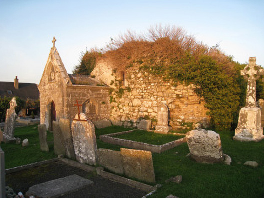 mausoleummausoleum · 1341 yd
 Ballingaddy Church (in ruins)Church · 1353 yd
 Site of CastleCastle, unclassified · 1.3 mi
 Site of Millmount Castle, Castle FieldCastle, unclassified · 1.3 mi
 King John's CastleCastle · 1.8 mi
 Kilmallock AbbeyHeritage attraction · 1.9 mi
 Lady's WellSpring · 2.6 mi
 Caher HillMountain / peak · 3.5 mi
 Ballyhoura tourist informationVisitor information · 4.0 mi