
What is recorded here
Knockannaholla Grave Yard sits atop a low hill overlooking the Greanagh river, enclosing twenty-three metres of forgotten lives within a mortared stone wall. Dense vegetation now swallows the northeast corner while low stones along the south edge wait for someone to read their lost names. The disused trackway from the road has vanished under grass, leaving only a recent stile and a dilapidated iron gate to mark where people once walked toward death.
Atop low hill, overlooking Greanagh river to E; known locally as Greanagh graveyard. Sub-oval area (23m E-W; 33m N-S) enclosed by mortared stone wall (H c. 1.1m). Entered through recent stile to SSW; earlier iron gate to NW now dilapidated. Much of interior covered by dense vegetation, especially to NE. Two headstones noted dating to mid-20th century; many low stones to S may be gravemarkers. Trackway, shown on 1923 OS 6-inch map leading to graveyard from road to S, now disused and overgrown.
Compiled by: Denis Power
Date of upload: 26 August 2011
See attached ASI aerial photographs ASIAP – taken on 04/03/2006.
The monument record does not grant public access. Check the route and ask the landowner before entering private land.
- What survives
- Recorded monument
Places near here
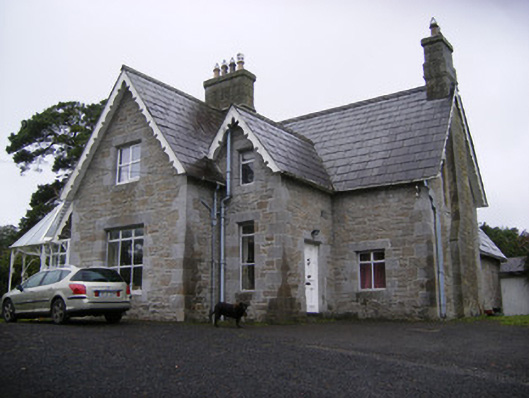 Cregaun Househouse · 540 yd
 Curragh Bridgebridge · 629 yd
 KnocknagowerNamed rock · 1410 yd
 OutlinedEnclosure · 1635 yd
 IndicatedFairy fort / earthen ringfort · 1641 yd
 Adare Tourist OfficeVisitor information · 1.5 mi
 Garraunboy CastleCastle · 1.7 mi
 CastleCastle, tower house · 1.7 mi
 Desmond CastleHeritage attraction · 1.7 mi
 Adare Desmond CastleMedieval castle · 1.7 mi
 European BeechEuropean Beech · 1.8 mi
 American SweetgumAmerican Sweetgum · 2.0 mi
Other information
Photo: Credit not shown in the picture search · Rights wording not checked; contact us if this picture should be removed