
What is recorded here
On a hilltop in boggy uncleared pasture with panoramic views. Several nearby field boundaries have been removed and some fields show traces of former cultivation. Hachured and named ‘Knockalish Fort’ on the 1840 and 1916 eds. of the OS 6-inch maps. Listed as ringfort in the RMP (1996).
A subcircular grassed-over earthen rath (int. dims. 43.9m E-W; 42m N-S) defined by a round-topped steep-sided bank (Wth 4.9-6m; int. H 0.2-0.3m; ext. H 1.2-1.6m) at W, NW, E and SE. Elsewhere the bank has been reduced to a scarp (H 1.6-1.7m). A field boundary, running N-S, overlies its E limits. A shallow external depression (Wth 8m), concentric with the bank at W and N, may be the remains of a fosse. A number of cattle gaps cut through the bank but a wide gap (Wth 8.5m) at E may be the remains of the original entrance gap. The interior is waterlogged and is highest towards the centre. On inspection the sod cover had been removed from the outer face of the bank at W. (Westropp 1913, 260)
Compiled by: Olive Alcock and Lynda McCormack
Date of upload: 12 April 2022
The monument record does not grant public access. Check the route and ask the landowner before entering private land.
- What survives
- Recorded monument
Places near here
 Tullagh FortFairy fort / earthen ringfort · 448 yd
 Caherminnaun Castle (in ruins)Castle, unclassified · 1023 yd
 IndicatedEnclosure · 1080 yd
 Hollywell Housefarm house · 1383 yd
 Kiltonaghty Church (in ruins)Church · 1589 yd
 Burren Centre KilfenoraVisitor information · 1622 yd
 High CrossHeritage attraction · 1671 yd
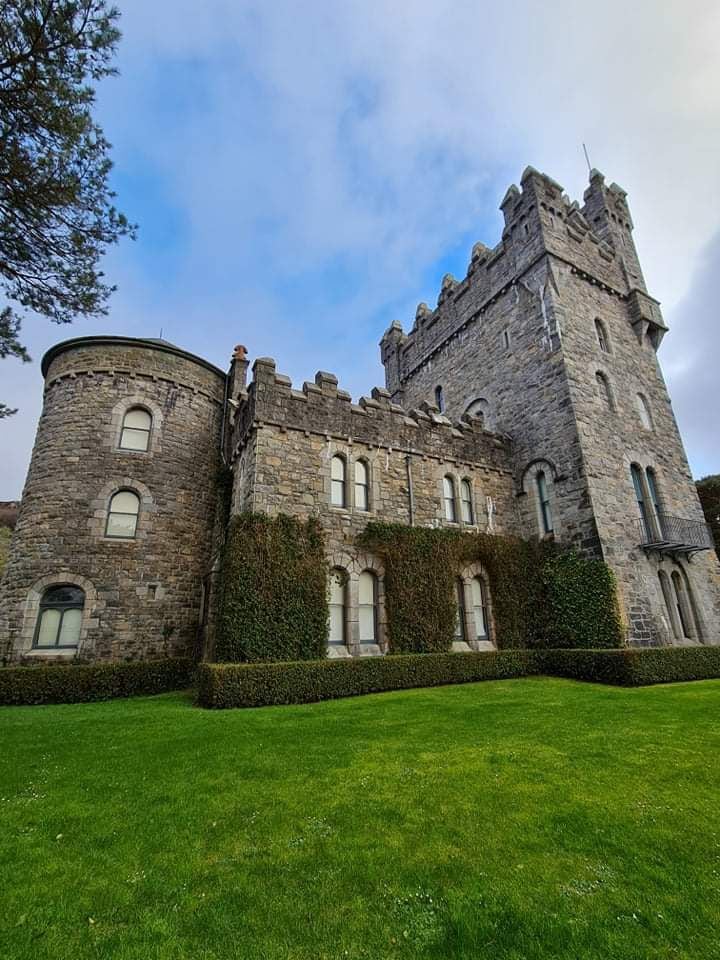 Tullagh Castle (in ruins)Castle, unclassified · 1.2 mi
 Fergus River CaveCave · 3.5 mi
 Ballyteigue Nature ReserveNature reserve · 4.1 mi
 Cave of the Wild HorsesCave · 4.1 mi
 Cahermacnaghten CashelHeritage attraction · 4.3 mi
Other information
Photo: Credit not shown in the picture search · Rights wording not checked; contact us if this picture should be removed