
What is recorded here
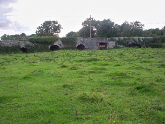
On a gentle rise in farmland. Poorly preserved oval rath (42m NNW-SSE) defined by a bank of earth and stone from SSW through N to E. No visible surface trace survives from E to SSW. (McCaffrey 1952, 184, no. 84)
Compiled by: Galway Archaeological Survey, UCG
Date of upload: 5 January 2017
The monument record does not grant public access. Check the route and ask the landowner before entering private land.
- What survives
- Recorded monument
Places near here
 CaherbegFairy fort / stone ringfort · 329 yd
 CaherlissagunnaFairy fort / stone ringfort · 501 yd
 Dunkellin Castle (in ruins)Castle, tower house · 1453 yd
 Dunkellin Bridgebridge · 1519 yd
 Castlegar (in ruins)Castle, unclassified · 1.1 mi
 Kiltiernan Church (in ruins)Church · 1.2 mi
 Kilcornan ForestWood · 2.2 mi
 Loughaun WoodWood · 2.9 mi
 Drumacoo Monastic SiteHeritage attraction · 3.3 mi
 Drumharsna CastleHeritage attraction · 4.2 mi
 MweenisharanIslet · 4.8 mi
 Goose IslandIslet · 7.2 mi
Other information
Photo: Credit not shown in the picture search · Rights wording not checked; contact us if this picture should be removed