What is recorded here
On cliff top, along shoreline to N of Curraghbinny wood. Heavily overgrown; oyster, periwinkles and cockle shells visible in section for 12m and measuring 0.3m in thickness. According to Schlichting (1973, 17) deposit measures 75 feet in length and 2 feet 6 inches in depth; two levels of' flooring' (L 5 feet) composed of limestone flags visible in section. A radio-carobon determination of 990 +/- 50 bp (calibrated date range 880 – 1060 AD) was recovered from oyster shell at this midden (Laboratory: Beta 155382) (Milner & Woodman 2007, 103).
The above description is derived from the published 'Archaeological Inventory of County Cork. Volume 2: East and South Cork' (Dublin: Stationery Office, 1994). In this instance the entry has been revised and updated in the light of recent research.
Revised by: Paul Walsh
Date of revision: 25 June 2012
The monument record does not grant public access. Check the route and ask the landowner before entering private land.
- What survives
- Recorded monument
Places near here
 The Giant's GraveMonument · 234 yd
 William Warren Baldwin plaqueMemorial · 262 yd
 Curraghbinny WoodsForest · 273 yd
 The Manor Househouse · 629 yd
 boathouseboathouse · 726 yd
 Castle (Site of)Castle, unclassified · 1075 yd
 Crosshaven Tourist OfficeVisitor information · 1311 yd
 Loughbeg Bird ReserveNature reserve · 1514 yd
 Slab-lined burial in HoddersfieldSlab-lined burial · 1.0 mi
 Camden FortFortification · 1.1 mi
 Church Bay BeachBeach / strand · 1.5 mi
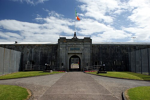 Spike IslandIslet · 1.6 mi