
What is recorded here
Kirkmichael, Aitkenhead Mill is a watermill in South Ayrshire, Scotland.
Places near here
Photo credits
- Maker not stated on source page, www.dreamstime.com
- Billy McCrorie, Wikimedia Commons · CC BY-SA 2.0
- Mary and Angus Hogg, Wikimedia Commons · CC BY-SA 2.0
- Maker not stated on source page, www.travelpulse.com
- Walter Baxter, Wikimedia Commons · CC BY-SA 2.0
- Maker not stated on source page, ru.pinterest.com
- Maker not stated on source page, www.lbc.co.uk
- Philip Jeffrey, Wikimedia Commons · CC BY-SA 2.0
 Blairquhan BridgeBridge · 449 yd
 MerklandFarmstead · 828 yd
 Kirkmichael HouseCountry House (18th Century) · 906 yd
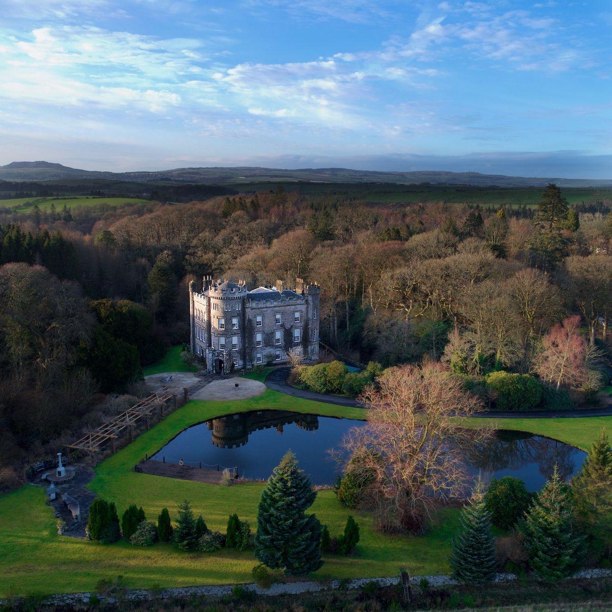 Cloncaird Castle EstatePark · 923 yd
 Kirkmichael Churchyard, Covenanter's GraveCovenanters Grave (17th Century) · 927 yd
 Mapped graveyardGraveyard · 963 yd
 Kirkmichael, Patna Road, Kirkmichael Parish ChurchChurch (medieval), Church (18th Century) · 965 yd
 War MemorialMemorial · 970 yd
 Kirkmichael, Patna Road, Kirkmichael Parish Church, ChurchyardBurial Ground (16th Century), Burial Ground (medieval) (possible), Churchyard (medieval), Commemorative Monument (19th Century) (1829), Covenanters Grave (17th Century) · 990 yd
 Cloncaird CastleCastle (medieval), Country House (19th Century) · 1200 yd
 Guiltree WoodForest · 1542 yd
 Five Shilling WoodWood · 1.0 mi
More archaeology and monuments in South Ayrshire · All of South Ayrshire

What do you know about this place?Tap to add a comment or ask a question