
What is recorded here
Map note: Kirkhill Belt is recorded near Kennethmont, Aberdeenshire, Scotland as a wood. If the name sparks an outdoor daydream, start with the map.
From OpenStreetMap (© OpenStreetMap contributors) w339106314
Places near here
Photo credits
- Anne Burgess, Wikimedia Commons · CC BY-SA 2.0
- Maker not stated on source page, www.tripadvisor.co.uk
- Alan Findlay, Wikimedia Commons · CC BY-SA 2.0
- Richard Webb, Wikimedia Commons · CC BY-SA 2.0
- Bill Harrison, Wikimedia Commons · CC BY-SA 2.0
- Richard Slessor, Wikimedia Commons · CC BY-SA 2.0
- Andrew Stuart, Wikimedia Commons · CC BY-SA 2.0
- Maker not stated on source page, storage.googleapis.com
- Gordon Brown, Wikimedia Commons · CC BY-SA 2.0
- Maker not stated on source page, commons.wikimedia.org
 Kennethmont ww1 War MemorialMemorial · 185 yd
 Kennethmont, St Alkmund's Parish ChurchBurial Ground (medieval), Church (medieval), Holy Well (medieval) · 194 yd
 Leith HallSand and Gravel Workings · 208 yd
 KennethmontBuilding · 360 yd
 Kennethmont, Rannes HallHall · 473 yd
 Leith Hall Policies, East PondHide (modern) · 486 yd
 Leith Hall GardensDitch, Revetment · 583 ydKennethmont, War MemorialWar Memorial (20th Century) · 607 yd
 Kennethmont SchoolSchool · 622 yd
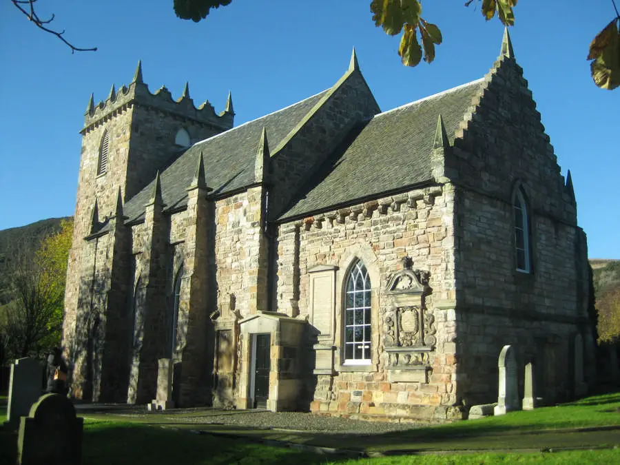 Kennethmont Parish ChurchBurial Ground (19th Century), Church (19th Century) (1812), Churchyard (19th Century) · 658 yd
 Leith Hall, Walled GardenGate, Gate Pier · 693 yd
 Larch WoodForest · 982 yd
More woods, forests and old trees in Aberdeenshire · All of Aberdeenshire

What do you know about this place?Tap to add a comment or ask a question