What is recorded here
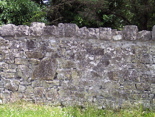
Rubble limestone estate wall with random block castellated capping stones, built c.1820. Road-fronted with woodland behind (east). Located along the northwest boundary of the former Pollard estate.
This estate wall forms part of the original Kinturk Demesne. The Pollard family of Kinturk House were influential in the development of Castlepollard and this wall is a visual representation of that relationship. It is likely that this wall dates from the 1820s when Kinturk House (15302016) itself was remodelled and the village rebuilt in its present layout. This wall forms an attractive feature which contributes significantly to the streetscape and creates a pleasant approach into the village along the Mullingar Road.
This does not grant access. Most recorded buildings are privately owned; view them only from public ground unless the owner allows entry.
Places near here
 stepssteps · 124 yd
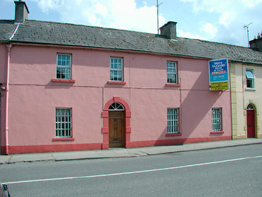 RIC barracksRIC barracks · 287 yd
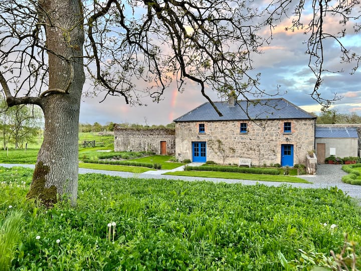 TobernamasalHoly well · 726 yd
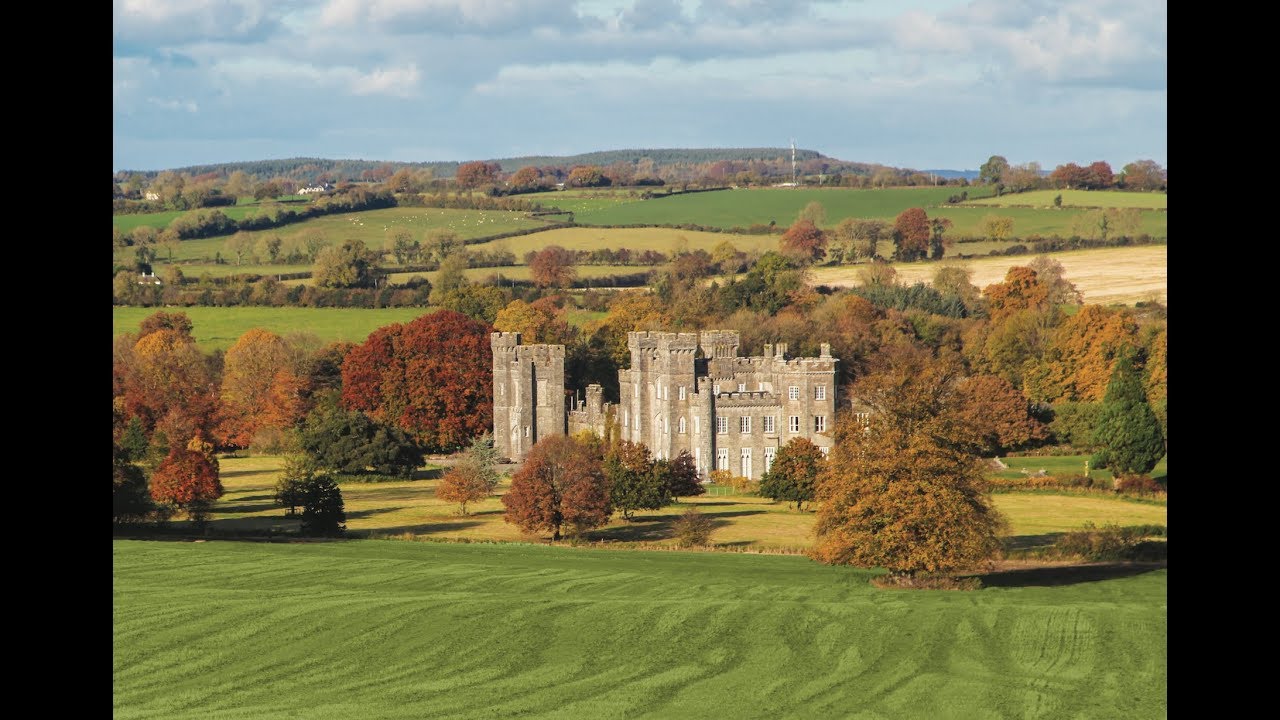 Partially outlinedFairy fort / earthen ringfort · 899 yd
 Silver FirSilver Fir · 1.1 mi
 Pedunculate OakPedunculate Oak · 1.1 mi
 CastleCastle, unclassified · 1.2 mi
 Bawn in KiltoomBawn · 1.5 mi
 St Feichin's MillHeritage attraction · 3.0 mi
 Fore AbbeyHeritage attraction · 3.1 mi
 Ben of ForeMountain / peak · 3.7 mi
 Rock of CurryCliff · 3.9 mi
Other information
Photo: National Inventory of Architectural Heritage · Website use allowed for educational or private purposes with source credit