
What is recorded here
From the National Monuments Service (Archaeological Survey of Ireland) record DG029-006
Places near here
Photo credits
- National Inventory of Architectural Heritage
- Maker not stated on source page, commons.wikimedia.org
- Maker not stated on source page, www.bigstockphoto.com
- Maker not stated on source page, www.ireland.com
- Maker not stated on source page, in.pinterest.com
- Maker not stated on source page, www.tripadvisor.ca
- Maker not stated on source page, www.pinterest.ru
- Kenneth Allen, Geograph · CC BY-SA 2.0
- Greg Clarke, Wikimedia Commons
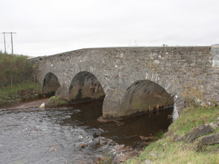 Kinnagoe BridgeBridge · 51 yd
Explorer Tom Kinnagoe Bridge has been straddling the Owenboy since c. 1800 with a very serious face. Those triangular cut-waters are…
 Kinnagoe Urn Burial CistCist · 396 yd
Explorer Tom Kinnagoe Urn Burial Cist was found when someone was clearing sand and thought an urn was a weird piece of furniture.…
 Standing stone in KinnagoeStanding stone · 659 yd
Explorer Tom Standing stone in Kinnagoe has totally collapsed into a deep nap! It used to stand up tall, but now it’s just lying…
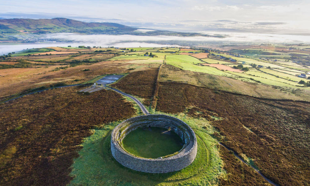 Enclosure in FoffanaghEnclosure · 1679 yd
Explorer Tom Enclosure in Foffanagh is basically a semi-circular huddle of stones leaning against Kinnagoe Hill’s rock face. It sits…
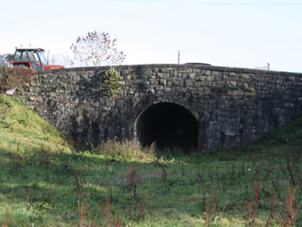 bridge1727 yd
Explorer Tom Bridge in Ballymagan Upper took the old road over the Buncrana-to-Carndonagh railway. The trains stopped in 1935; a…
 Standing stone in Umrycam (mintiaghs Ed)Standing stone · 1745 yd
Explorer Tom Standing stone in Umrycam used to be a rock, but now it’s just a big hole full of sand. I bet the standing stone didn’t…
 Druminderry Chambered CairnCairn, unclassified · 1759 yd
Explorer Tom Druminderry Chambered Cairn is just a small, six-metre stone heap, barely a metre high. It used to be a proper…
 Cockhill GraveyardGraveyard · 1.6 mi
Explorer Tom Cockhill Graveyard is home to a giant who allegedly stole a cow and hid it under the chapel roof. Nobody has found the…
 Tullyarvan Mill HostelHostel · 2.2 mi
Explorer Tom Tullyarvan Mill Hostel on Mill Lane smells like damp socks and ancient secrets from the old millstone. It includes a…
 Swan ParkPark · 2.5 mi
Explorer Tom Swan Park gives Buncrana a beautiful green corridor beside the Crana River, and I recommend arriving with enough time…
 Swan Park WalkWalking route · 2.5 mi
Explorer Tom Swan Park Walk is Buncrana's invitation to follow the Crana River beneath trees and across old bridges before deciding…
 UbiquitousRestaurant · 2.6 mi
Explorer Tom Ubiquitous in Buncrana claims to be everywhere at once, which is either impressive or terrifyingly efficient. I’d check…
More archaeology and monuments in County Donegal · All of County Donegal

What do you know about this place?Tap to add a comment or ask a question