What is recorded here
On high ground in undulating countryside with good extensive views with two standing stones also known as the 'King's Stone' to the N (OF006-004----) and NE (OFO06-005----). Large standing stone (H 2m; 1.1m x 0.4m) now recumbent was damaged during land reclamation and was originally aligned on a N-S axis. This stone is locally known as the 'King's Stone' and is associated with two other similarly named standing stones in the nearby fields. The recumbent stone is lying on top of loosely piled stones and natural bedrock which is protruding from the surface. One of a group of three standing stones. Not marked on first two editions of the OS 6-inch maps which may indicate recent date for this group of stones.
The above description is derived from the published 'Archaeological Inventory of County Offaly' (Dublin: Stationery Office, 1997). In certain instances the entries have been revised and updated in the light of recent research.
Date of upload: 23 May 2011
Likely dating to the Bronze Age, the Kings Stone, Esker may have functioned as a territorial marker or ceremonial monument. Local tradition sometimes associates such stones with legendary or historical figures, though specific folklore is not recorded.
The monument record does not grant public access. Check the route and ask the landowner before entering private land.
- What survives
- Recorded monument
Places near here
 IndicatedFairy fort / earthen ringfort · 367 yd
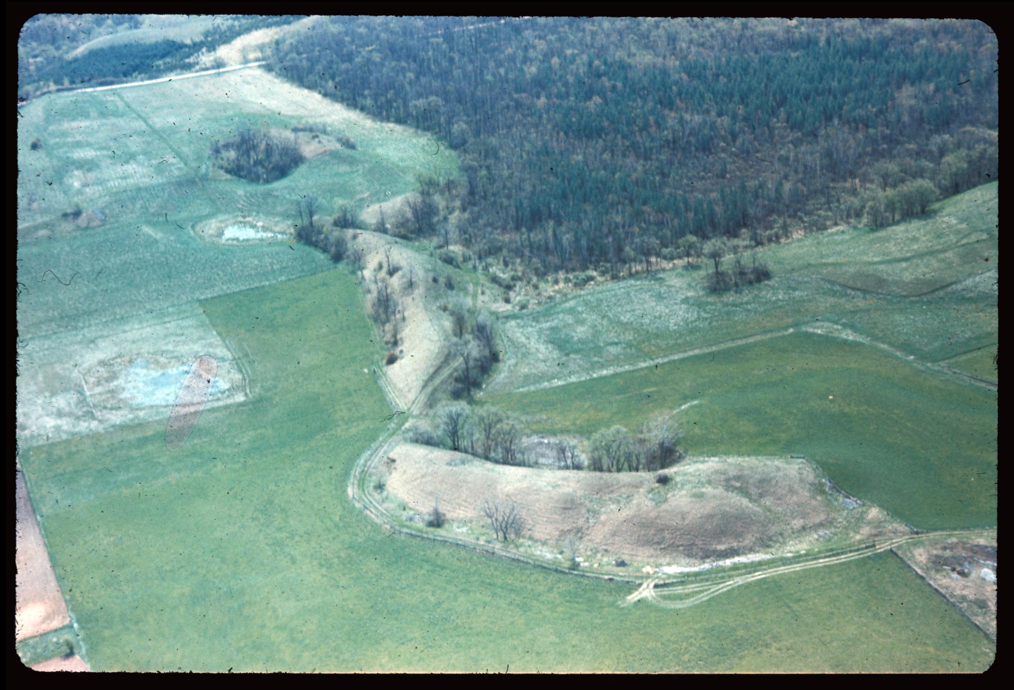 Enclosure in EskerEnclosure · 735 yd
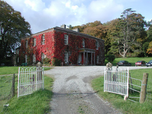 The Dooncountry house · 1063 yd
 Esker CastleCastle, tower house · 1086 yd
 Bawn in Lackagh MoreBawn · 1371 yd
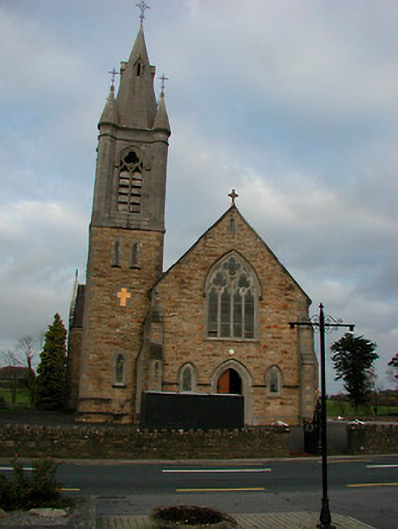 Saint Colmcille's Catholic Churchchurch/chapel · 1.0 mi
 European ashEuropean ash · 1.3 mi
 Endrim HillMountain / peak · 3.3 mi
 Long IslandIsland · 4.3 mi
 Ballylin Bog BoardwalkHeritage attraction · 4.6 mi
 Dún na SíMuseum · 5.3 mi
 Charles BianconiMemorial · 5.5 mi