
What is recorded here
Indicated is a vanished fairy fort in County Offaly, reduced to a polygonal ghost on old survey maps while the land itself forgot the shape. It may have been a human dwelling, a boundary marker or a trick of the soil, but the forgootteness is the point. What is not remembered becomes available for imagination, and the absence invites invention rather than discourages it.
Not visible at ground level. Depicted as a polygonal shaped enclosure on OS 6-inch map. Described in 1972 as 'One rath, 330 yards north-west of the south stone (OF006-004----) the other 400 yards east of it (OF006-005----) (English 1972, 249). Described in 1987 as 'This 'earthwork' consists of a wide low bank with a very shallow fosse on its eastern side. Running eastwards from this bank there is a low sloping embankment which is partly natural. There is a slight fosse at the foot of the embankment on the north. This appears to have no archaeological significance in its present shape. The bank on west appears to be merely the remains of a low field bank' (ASI file 1987).
The above description is derived from the published 'Archaeological Inventory of County Offaly' (Dublin: Stationery Office, 1997). In certain instances the entries have been revised and updated in the light of recent research.
Date of upload: 23 May 2011
The monument record does not grant public access. Check the route and ask the landowner before entering private land.
- What survives
- Recorded monument
Places near here
 Cave HillFairy fort / earthen ringfort · 1073 yd
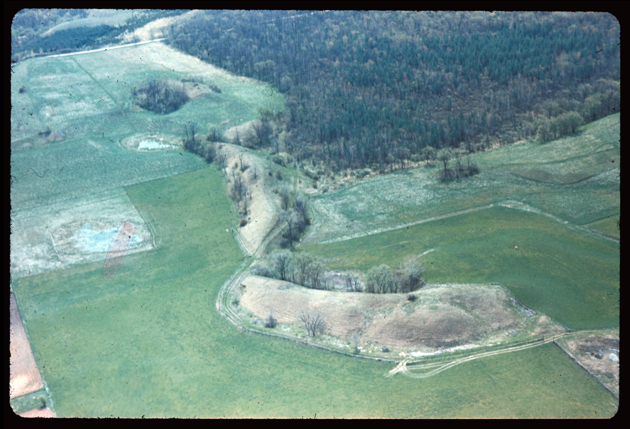 Enclosure in EskerEnclosure · 1095 yd
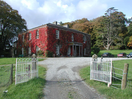 The Dooncountry house · 1105 yd
 Esker CastleCastle, tower house · 1294 yd
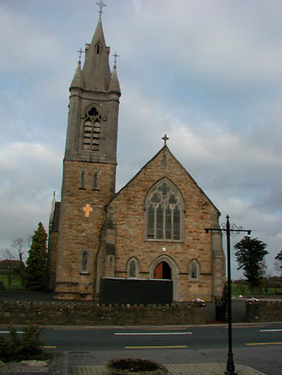 Saint Colmcille's Catholic Churchchurch/chapel · 1433 yd
 Bawn in Lackagh MoreBawn · 1569 yd
 European ashEuropean ash · 1.1 mi
 Endrim HillMountain / peak · 3.3 mi
 Long IslandIsland · 4.1 mi
 Ballylin Bog BoardwalkHeritage attraction · 4.6 mi
 Dún na SíMuseum · 5.4 mi
 Charles BianconiMemorial · 5.6 mi
Other information
Photo: Credit not shown in the picture search · Rights wording not checked; contact us if this picture should be removed