What is recorded here
Kilvroon Burial Ground vanished beneath rough grazing on the northeast edge of Clear Island, leaving no visible trace despite appearing on the 1842 Ordnance Survey map. Toberkilvroon still marks the area where forgotten dead may sleep beneath grass and wind. The absence of stones does not erase the purpose of the place, but it forces imagination to complete what measurement stopped recording.
In rough grazing, NE end Clear Island. Marked 'Kilvroon Burial Gd.' on OS 6-inch map (1842). No visible surface trace. Toberkilvroon (CO153-013001-) in area of burial ground.
The above description is derived from the published 'Archaeological Inventory of County Cork. Volume 1: West Cork' (Dublin: Stationery Office, 1992). In certain instances the entries have been revised and updated in the light of recent research.
Date of upload/revision: 14 January 2009
The monument record does not grant public access. Check the route and ask the landowner before entering private land.
- What survives
- Recorded monument
Places near here
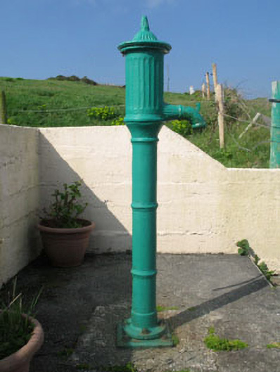 water pumpwater pump · 155 yd
 farm housefarm house · 367 yd
 Field boundary in Comalán (cléire)Field boundary · 436 yd
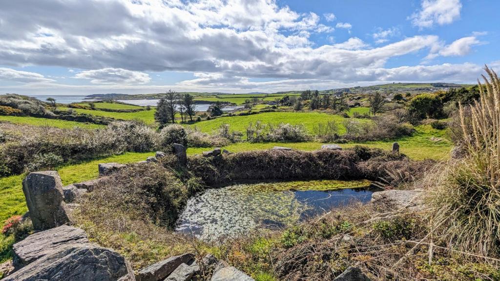 Man-made underground passage in Gort Na Lobhar (cléire)Man-made underground passage · 716 yd
 Oileán ÉinneIslet · 1234 yd
 Cape Clear MuseumMuseum · 1675 yd
 CléireIsland · 1.4 mi
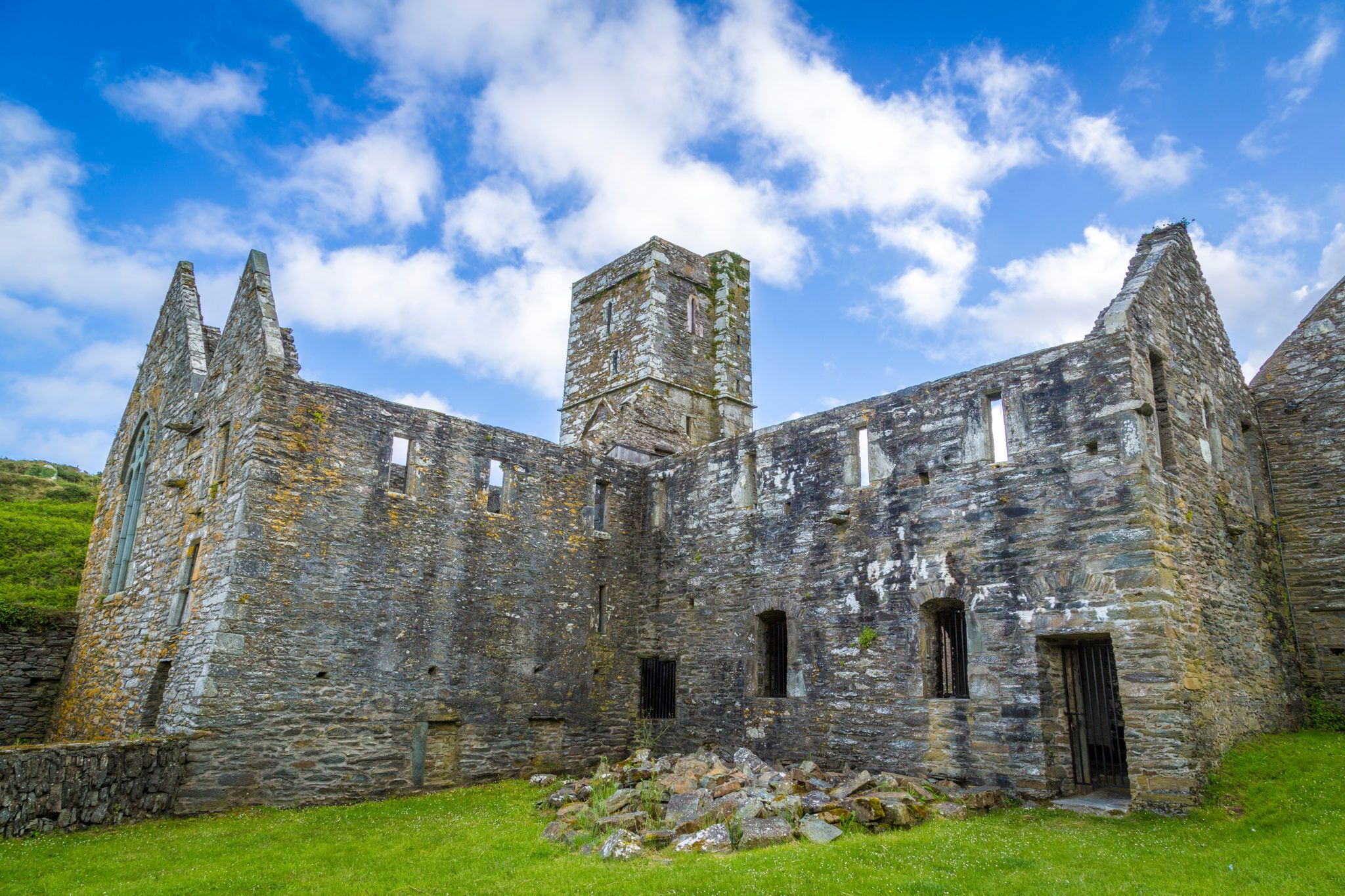 Sherkin PointHeadland · 1.5 mi
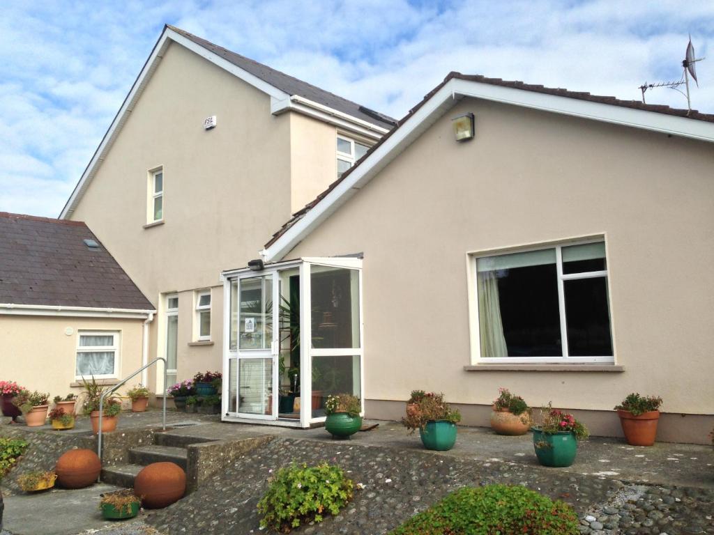 An Gleann LoopWalking route · 1.6 mi
 Hard StrandBeach / strand · 1.7 mi
 Oifig Fáilte Siopa CeirdVisitor information · 1.7 mi
 Trá CiaráinBeach / strand · 1.7 mi