What is recorded here
In a graveyard (MA092-019002-), on a SW-facing slope overlooking Mannin Lake.
The church is located on a slightly raised level area in the N corner of the graveyard. The remains are reduced to low sod-covered wall-footings which outline a rectangular building (c. 8m WNW–ESE; c. 5m NNE–SSW). A heap of loose stone abuts the N side. Low uninscribed stone grave markers protrude from the ground to E, S and W of the church. The graveyard was used as a children’s burial ground (MA092-019004-). A holy well (MA092-019003-), associated in local tradition with St. Patrick, is located c. 40m to SE.
Compiled by: Jane O’Shaughnessy
Date of upload: 18 February 2022
The monument record does not grant public access. Check the route and ask the landowner before entering private land.
- What survives
- Recorded monument
Places near here
 Kilronan WellHoly well · 67 yd
 IndicatedFairy fort / earthen ringfort · 371 yd
 CastleCastle, unclassified · 1500 yd
 Mannin Housefarm house · 1550 yd
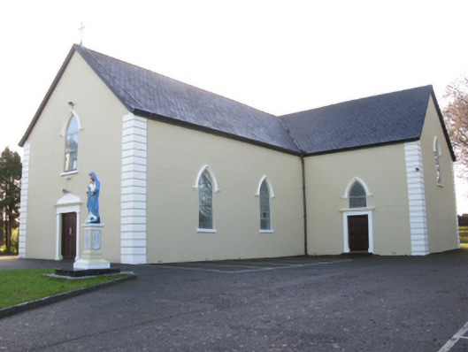 Saint Joseph's Catholic Churchchurch/chapel · 1.7 mi
 Rath Castle in ruinsCastle, tower house · 2.6 mi
 East Mayo Brigade MonumentMemorial · 4.3 mi
 Knock MuseumMuseum · 4.3 mi
 Knock ShrineHeritage attraction · 4.3 mi
 I'll Send You The FareMemorial · 8.1 mi
 Oak WoodForest · 10 mi
 Geoffrey's WoodForest · 11 mi