
What is recorded here
Kilnamanagh Grave Yard hides beneath ordinary Wexford farmland, visible only when aerial photography catches the faint rectangular shadow cast by buried church walls. The disappearance is not an absence but a transfer: stone knowledge moved downward, waiting for altitude and light to reveal what foot traffic forgets. A holy well nearby and a stream to the north suggest the lost complex still participates in the land, marking cleanliness, life and memory rather than pride or display.
Kilnamanagh Grave Yard is recorded as a archaeological place in County Wexford. Its open map record supplies this location and any linked names or public references.
Places near here
 Church in Kilnamanagh LowerChurch · 10 yd
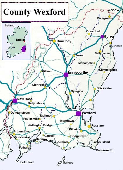 IndicatedHoly well · 67 yd
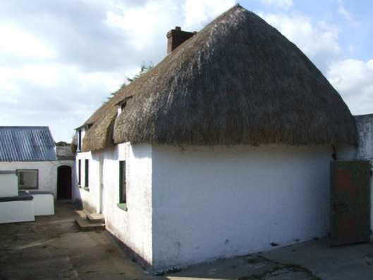 farm housefarm house · 635 yd
 Enclosure in KnockskemolinEnclosure · 1638 yd
 1798 MemorialMonument · 1664 yd
 1916 MemorialMemorial · 1.1 mi
 Oulart HillMountain / peak · 1.3 mi
 Battle of Oulart Hill signVisitor information · 1.4 mi
 Fontainebleau service treeFontainebleau service tree · 1.7 mi
 Birds of PreyVisitor information · 1.8 mi
 Ballingowan MoteCastle, motte · 2.2 mi
 Father Murphy CentreHeritage attraction · 3.2 mi
Other information
Photo: Credit not shown in the picture search · Rights wording not checked; contact us if this picture should be removed