
What is recorded here
Kilnamanagh graveyard is marked as a rectangular feature (dims c. 40m NW-SE; c. 40m NE-SW) on the 1839 ed. of the OS 6-inch map, and it is situated on a gentle E-facing slope with the headwaters of a small W-E stream just to the N. According to a Visitation by Thomas Ram, the Protestant bishop of Ferns, in 1615 Walter Synnott was the priest, and the church and chancel were in repair (Hore 1900-11, vol. 6, 271). The parish church of Kilnamanagh was pulled down c. 1800 according to John O'Donovan writing c. 1840 (O'Flanagan 1933, vol. 2, 93). There are no visible traces of the church or graveyard at ground level, although the graveyard can be seen as a cropmark (dims c. 40m NW-SE; c. 40m NE-SW) on an OSI series of aerial photographs (2005). The holy well, a natural spring, is c. 35m N of the graveyard.
The above description is derived from the published 'Archaeological Inventory of County Wexford' (Dublin: Stationery Office, 1996). In certain instances the entries have been revised and updated in the light of recent research.
Compiled by: Michael Moore
Date of upload/revision: 15 June 2012
Amended: 4 Sep. 2013
This remains an important historical record, but the official description says the monument is no longer visible or has been destroyed. The monument record does not grant public access. Check the route and ask the landowner before entering private land.
- What survives
- No visible remains or recorded as destroyed
Places near here
 Kilnamanagh Grave YardArchaeological place · 10 yd
 IndicatedHoly well · 64 yd
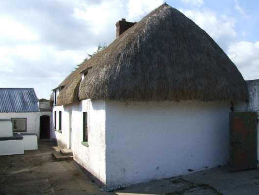 farm housefarm house · 632 yd
 graveyard/cemeterygraveyard/cemetery · 1336 yd
 Enclosure in KnockskemolinEnclosure · 1637 yd
 1798 MemorialMonument · 1657 yd
 Oulart HillMountain / peak · 1.3 mi
 Battle of Oulart Hill signVisitor information · 1.4 mi
 Fontainebleau service treeFontainebleau service tree · 1.7 mi
 Birds of PreyVisitor information · 1.8 mi
 Ballingowan MoteCastle, motte · 2.2 mi
 Father Murphy CentreHeritage attraction · 3.2 mi
Other information
Photo: Credit not shown in the picture search · Rights wording not checked; contact us if this picture should be removed