What is recorded here
In rough pasture, on a NE-facing slope, close to the W shore of the Croanshagh River mouth. A partly collapsed kiln (c. 4m x 4m; H 2.2m) built of random rubble sandstone. Front faces NE. Recess ope (Wth 1.8m; D 1.2m) is partly collapsed; lintelled ope at base of rear (H 0.2m; Wth 0.4m). Rear of kiln is built into slope at SW allowing access to cylindrical funnel (diam. 1.45m) with bowl-shaped bottom.
Compiled by: Elizabeth Byrne, Ursula Egan and Sheila Ronan, Archaeological Survey Unit, University College, Cork.
Date of upload: 30 May 2011
The monument record does not grant public access. Check the route and ask the landowner before entering private land.
- What survives
- Recorded monument
Places near here
 Croanshagh Br.Bridge · 218 yd
 Man-made underground passage in Lauragh UpperMan-made underground passage · 484 yd
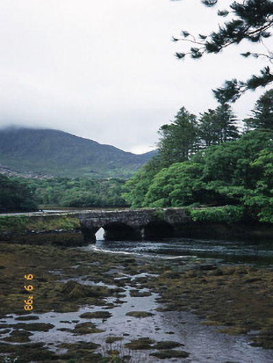 Cappul Bridgebridge · 761 yd
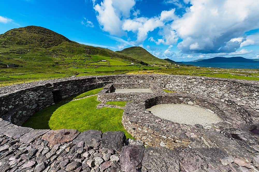 Fairy fort / earthen ringfort in Lauragh LowerFairy fort / earthen ringfort · 807 yd
 New Zealand broadleafNew Zealand broadleaf · 1476 yd
 Japanese cedarJapanese cedar · 1500 yd
 CummeennahillanMountain / peak · 1.2 mi
 Crane IslandIslet · 1.3 mi
 Duck RockIslet · 1.3 mi
 KnockastumpaMountain / peak · 1.3 mi
 DroppaCliff · 3.9 mi
 Mare's Tail WaterfallViewpoint · 4.5 mi