What is recorded here
Built into E-W orientated N-facing near vertical scarp overlooking foreshore on N side of Oyster Island. Rectangular structure (Max. ext. dims. 4.2m E-W; 3.2m N-S), with the vertical front (Wth 4.2m; H 2.9m) facing N constructed of roughly quarried sandstone and limestone blocks bonded with a rough lime mortar. The bowl is infilled (int. dims. 3m E-W; 2.6m N-S) with rubble stone and earth and only the E wall (T 0.6m; H 0.6m) is intact as the W and S walls have collapsed. A large recess is located centrally at the base of the N side with a vaulted roof and a segmental arch (Wth 2.15m; H 1.3m) with well cut voussoirs of limestone and sandstone supporting the front wall of the kiln. The side walls of the recess are splayed inwards and the roof slopes down toward the rear of the recess where a raking hole (H 0.2m; Wth 0.25m) is located. Immediately above the keystone of the arch supporting the recess is a stoking hole (H 0.15m; Wth 0.1m) that slopes upwards into the bowl of the kiln. A midden (SL 008-101---) is located 250m to the W and a mound (SL008-100----) 200m to the SE.
Compiled by: Patrick F. O'Donovan
Date of upload: 21 April 2011
The monument record does not grant public access. Check the route and ask the landowner before entering private land.
- What survives
- Recorded monument
Places near here
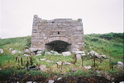 kilnkiln · 1 yd
 Oyster Island Lighthouselighthouse · 126 yd
 Enclosure in Oyster IslandEnclosure · 187 yd
 Oyster IslandIslet · 262 yd
 Waiting on ShoreMemorial · 416 yd
 Enclosure in Rosses UpperEnclosure · 487 yd
 Rosses Point BeachBeach / strand · 811 yd
 Coney IslandIsland · 1501 yd
 Doonanpatrick IslandIslet · 1.1 mi
 Drumcliff BayBay · 1.6 mi
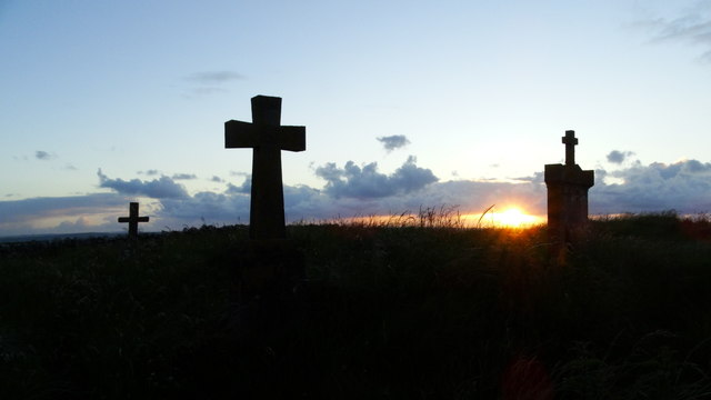 Graveyard in KillaspugbroneGraveyard · 1.9 mi
 Finned PointHeadland · 2.2 mi