What is recorded here
Testing and monitoring by Kieran Campbell of foundations for a house at Low Street, within the 'Archaeological Zone' of the medieval borough (WM024-179----) of Ballymore Lough Sewdy took place on September 5th, 1994 under archaeological excavation licence number 94E092. A pit, exposed in the trench on the east side of the house, was 2.1m in diameter and at least 0.4m deep under 0.3m of topsoil. The depth of the pit was not established as it lay below the required level of the trenches. The pit edge was oxidised to a brick-red colour and had a lining of white lime 20-30mm thick. The fill of the pit consisted of burnt limestone mixed with soil. A sherd of black-glazed earthenware of 18th-19th-century date was recovered from the fill. The pit had obviously functioned as a small lime kiln. The outline when fully exposed by hand excavation was found to be circular with no sign of a rake-out or flues.
Compiled by: Caimin O'Brien
Date of upload: 18 August 2014.
The monument record does not grant public access. Check the route and ask the landowner before entering private land.
- What survives
- Recorded monument
Places near here
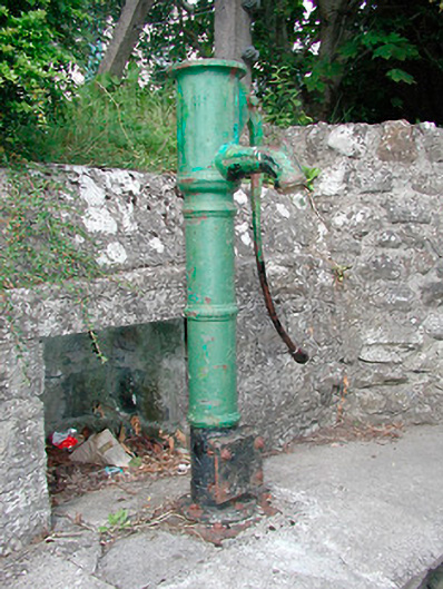 water pumpwater pump · 238 yd
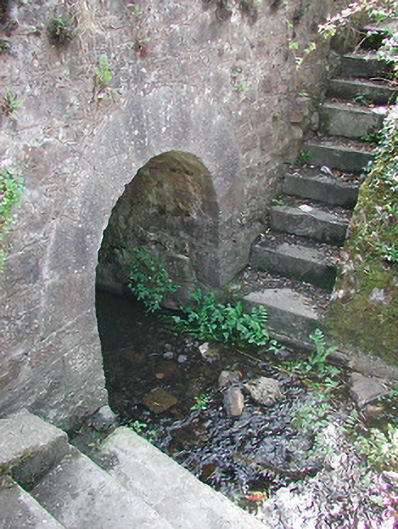 bridgebridge · 239 yd
 Plary Monastery (in Ruins)Castle, tower house · 524 yd
 Site of CampBastioned fort · 825 yd
 AltarMass-rock · 848 yd
 CastleCastle, unclassified · 921 yd
 Corran IslandIslet · 1500 yd
 Japanese pagoda treeJapanese pagoda tree · 3.3 mi
 Sam's ParkForest · 3.5 mi
 KnockastiaMountain / peak · 3.7 mi
 Hill of UisneachMountain / peak · 4.1 mi
 Craft WorkshopHeritage attraction · 5.0 mi